Mission Summary
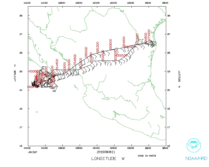
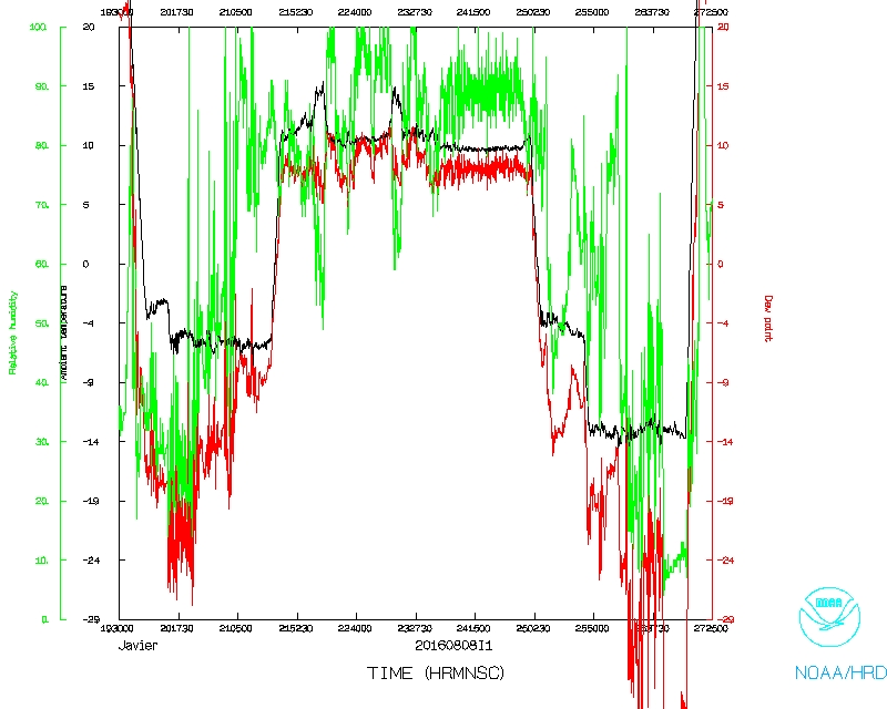
20160808I1 Aircraft 43RF
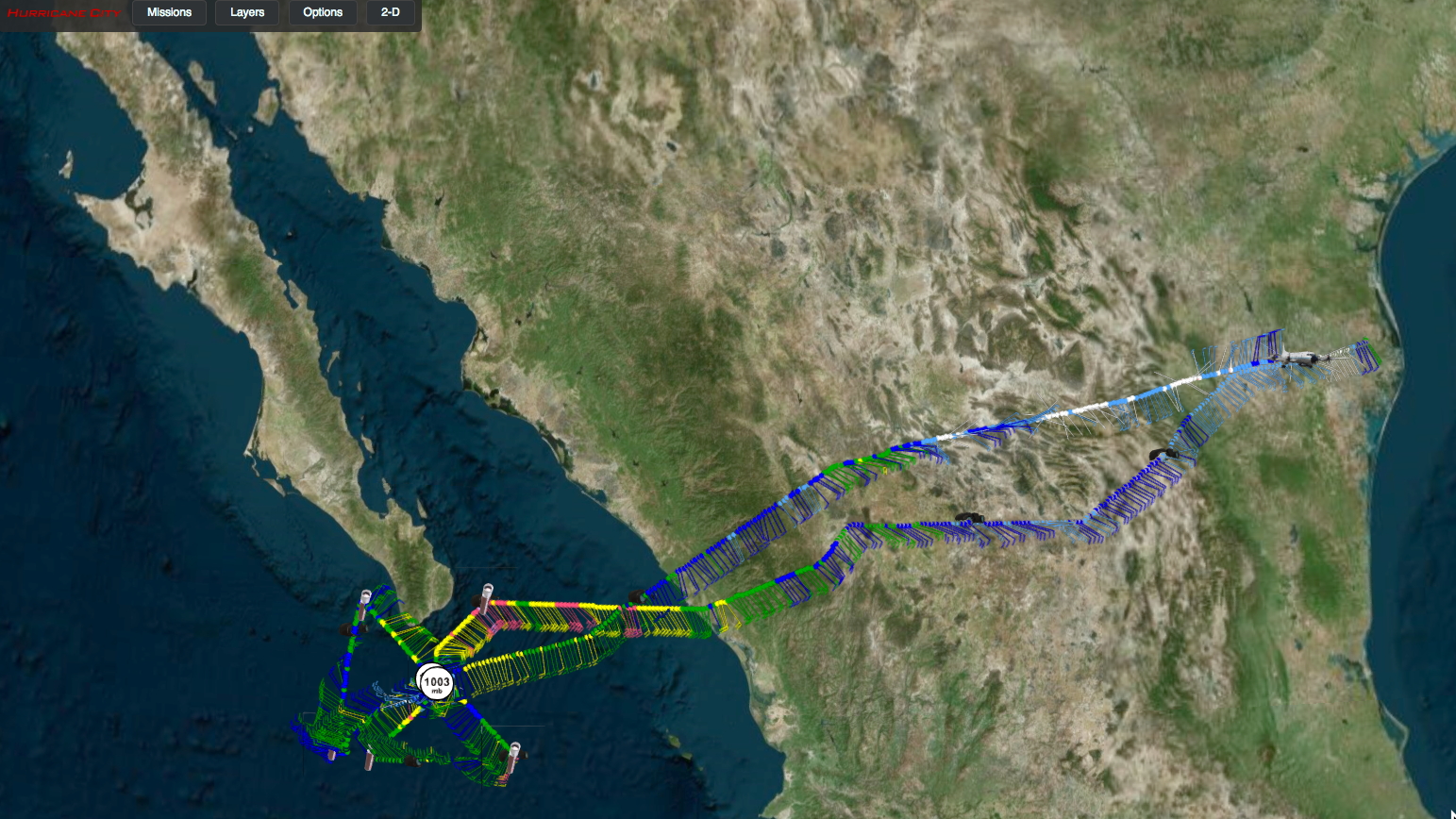
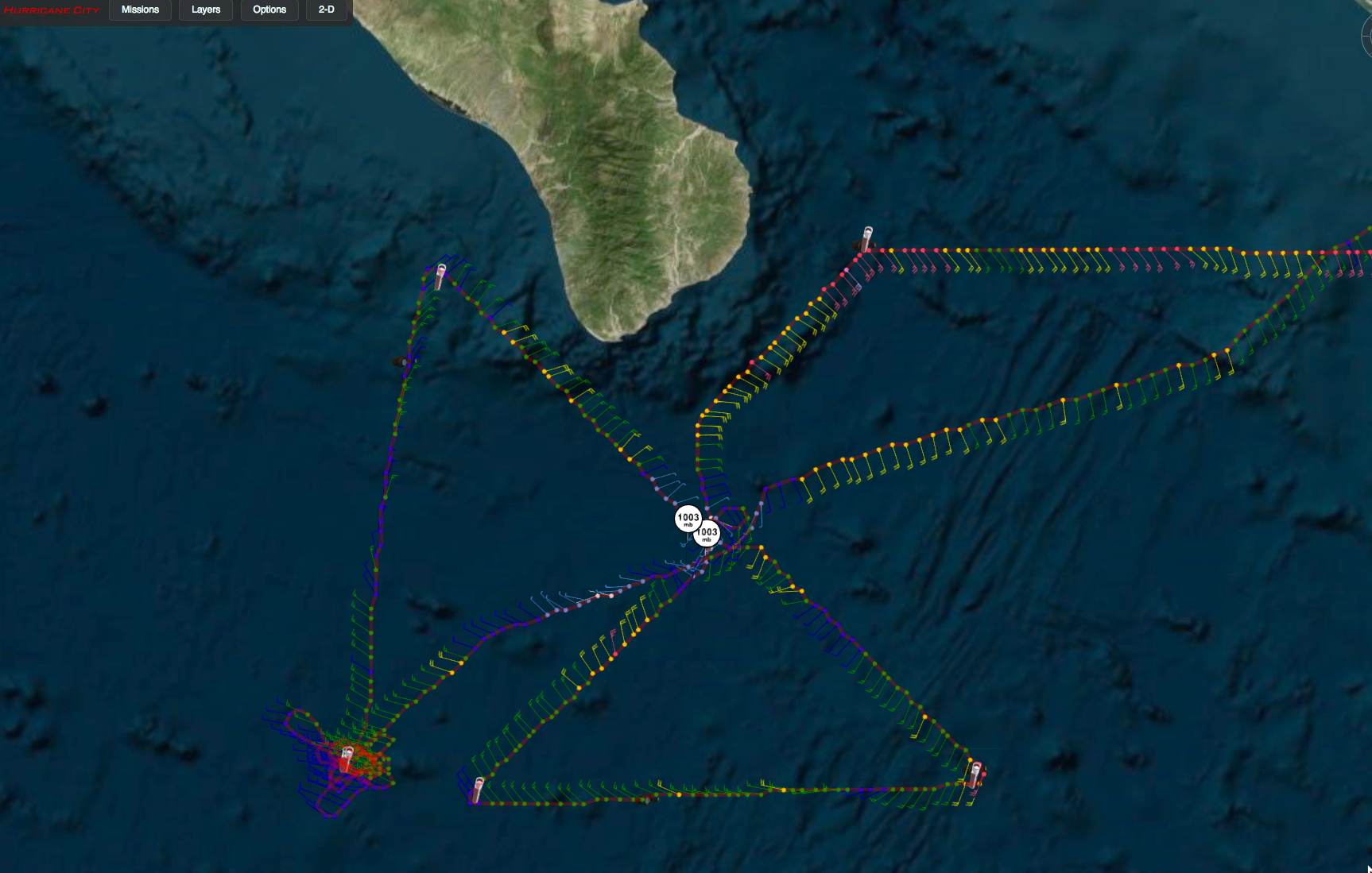
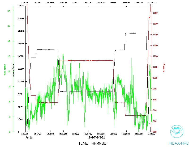
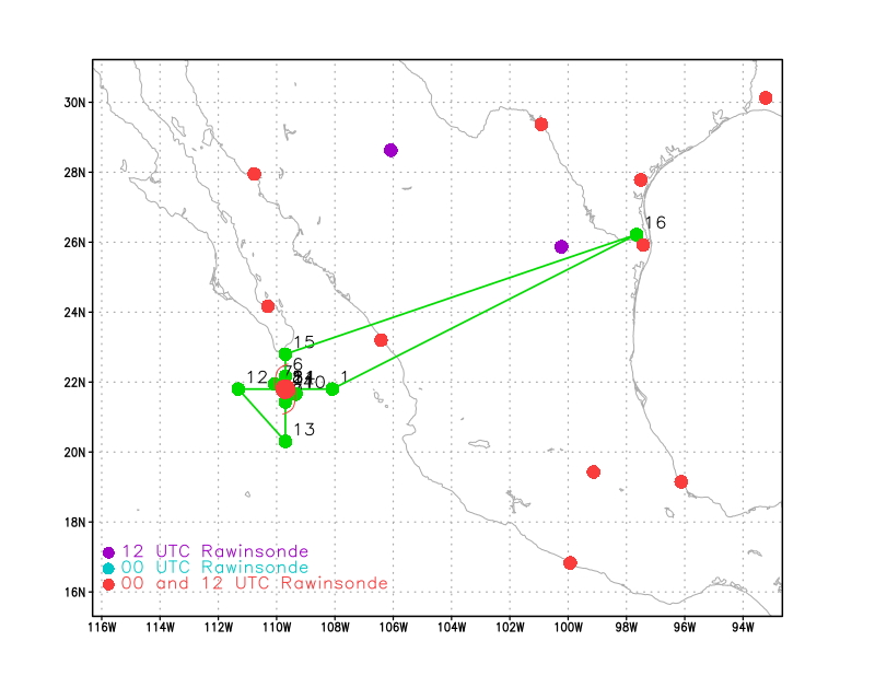
Tropical Storm Javier
Doppler Wind LIDAR/COYOTE
| Aircraft Commander | Chris Kerns |
| Co-pilot | Adam Abitbol |
| Co-pilot | Robert Mitchell |
| Flight Engineer | Lelonde |
| Navigator | Pete Siegel |
| Flight Director | Ian Sears |
| Flight Director | Belson |
| Data Technician | Dana Naeher |
| Dropsonde Operator | Bobby Peek |
| Dropsonde Operator | Steven Paul |
| Lead Scientist | Joe Cione | HRD |
| Radar Scientist | Evan Kalina | HRD |
| Dropsonde | Kelly Ryan | HRD |
| Observer | Aaron Faber | |
| Observer | Jerry Dellinger |
 Proposed NOAA 43 track |
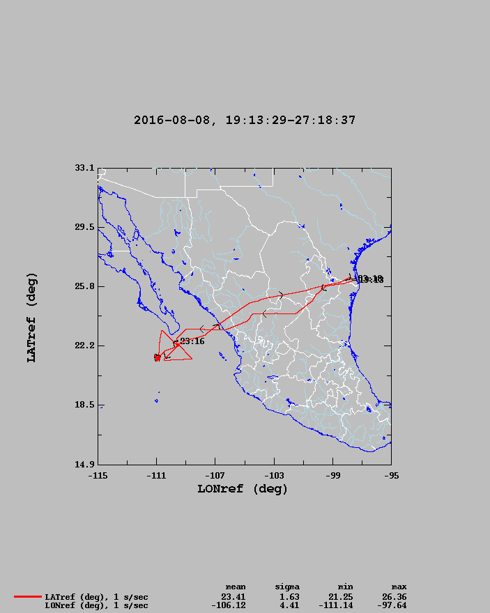 Findal NOAA 43 track |