| Lead Scientist | Paul Chang (NESDIS) |
| GPS Dropsonde | Joe Cione |
| HRD Workstation | Mike Black |
| Near real-time data | L. Connor(NESDIS) |
| IWRAP/USFMR | A.Zhang/D. Esteban (NESDIS) |
Mission Briefing:
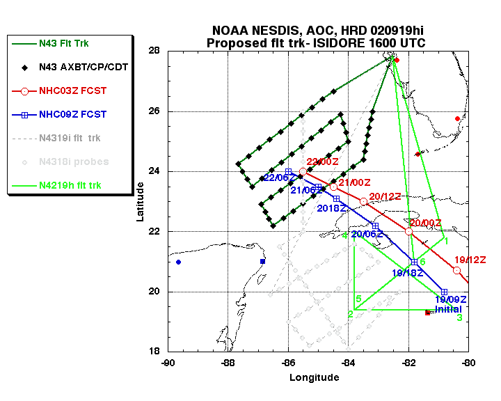
NOAA42 flew an in-storm pattern in Isidore, taking off at 12 noon EDT and, recovered at MacDill at 8:30 PM EDT. The pattern consisted of a figure 4 starting from the north side of Isidore about 100 miles out, and ended up on the west side to do some convective work for Paul Chang on the southern portion of Isidore's inner core.
Mission Synopsis
Mission Data
Flight Data | ||
 Flight track detail |
 Temperature and Moisture |
 Wind and Atlitude |
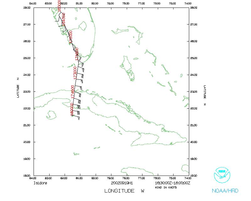 Flight track ferry in |
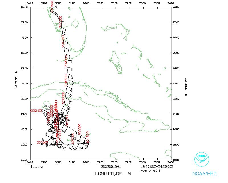 Flight track ferry out |
|
| Point # | LAT (d m) |
LON (d m) |
LOCATION |
| 1 | 27.850 | 82.520 | MacDill AFB |
| 2 | 21.800 | 80.800 | |
| 3 | 19.400 | 83.800 | |
| 4 | 19.400 | 80.400 | |
| 5 | 22.000 | 83.800 | |
| 6 | 19.400 | 83.800 | |
| 7 | 21.000 | 81.800 | |
| 8 | 27.850 | 82.520 | MacDill AFB |