Flight Data | ||
 Flight track |
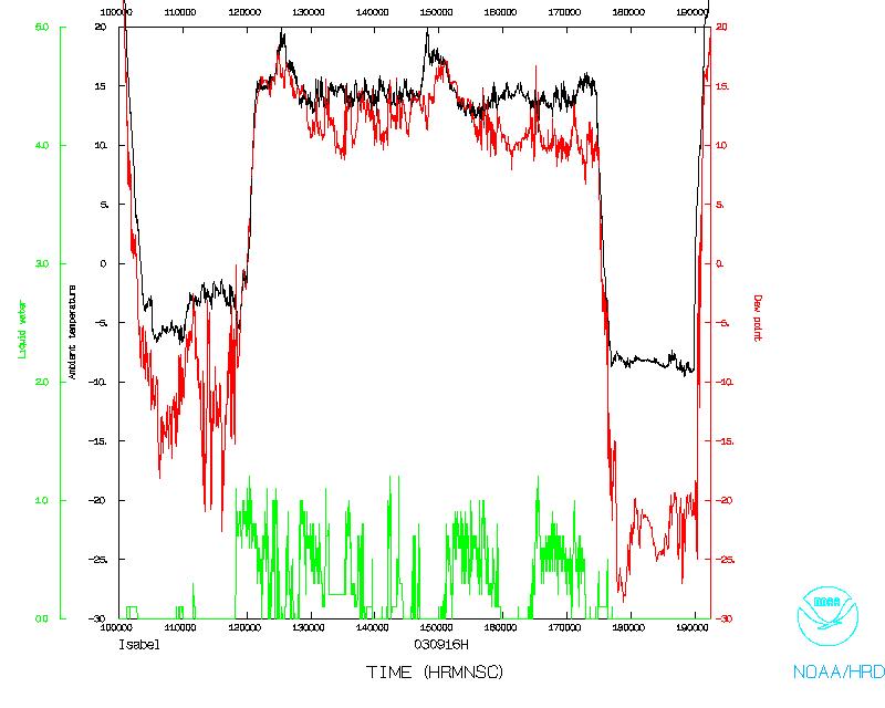 Temperature and Moisture |
 Wind and Altitude |
 Flight track |
||
| Lead Scientist | Paul Chang (NESDIS) |
| Lead/Dropsonde Scientist | Rob Rogers |
| Workstation Scientist | Paul Leighton |
| SFMR Scientist | D. Esteban (UMASS) |
This flight was a tasked mission from NHC to investigate the
structure of Hurricane Isabel, which was east of Florida at this
time and was heading in a NNW direction. Takeoff time was set for
0930 UTC, with a recovery at MacDill AFB. The plan called for
performing a figure 4 pattern at 7000 ft. Long flight legs would be
a part of the figure 4 pattern in order to map out the surface wind
field with the SFMR at distances far from the storm center. An
emphasis would be placed on the northern part of the storm, since
this is where most of the active convection was occurring at the time
of takeoff. If time allowed, N42RF would perform some wedge patterns
to gather data for the Ocean Winds experiment.
Mission Summary :
Takeoff from St. Croix was delayed a bit, to 1002 UTC. The storm was considerably weaker today than it had been two days previously. Satellite analyses indicated that southwesterly shear was impacting the storm at this time, and dry air was beginning to wrap into the storm circulation from the west side. The figure 4 pattern was flown fine. Six sondes were dropped: three in the eyewall (SE, NW, and NE sides), two in the eye, and one on the north side of the storm. They all worked fine. Maximum flight level winds had decreased to 105 kts on the NE side of the storm. The eyewall was open on the SW side, though convective bands were forming at outer radii. The wind field had broadened considerably. Hurricane-force winds at the surface easily extended 120 nmi from the center on the NW and NE sides of the storm. Minimum central pressure measured in the eye was 959 mb, and the maximum winds at the surface measured by the dropsondes was 93 kt at the 10-m level in the SE eyewall. One radar composite was transmitted.
Mission Data :
Flight Data | ||
Flight track |
Temperature and Moisture |
Wind and Altitude |
Flight track |
||
Problems :
Because the legs of the figure 4 pattern were so long, there was not time to perform any patterns for the Ocean Winds experiment.
Rob Rogers co-LPS
Return to Mission page.