| Aircraft Commander | Carl Newman |
| Co-pilot | Mark Sweeney |
| Co-pilot | |
| Flight Engineer | |
| Flight Engineer | |
| Navigator | Devin Brakob |
| Flight Director | Ian Sears |
| Data Technician | Joe Bosko |
| Electronics Technician | Bill Olney |
| Electronics Technician | Bobby Peek |
| Lead Scientist | Rob Rogers (HRD) |
| Radar Scientist | Sylvie Lorsolo (HRD) |
| Dropsonde Scientist | Brad Klotz (HRD) |
| Observer | Stacey Stewart (NHC) |
| Observer | Wallace Hogsett (NHC) |
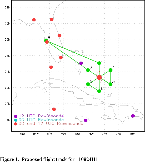
Mission Plan :
NOAA 42RF will perform a Tail Doppler Radar (TDR) mission into Hurricane Irene. Set IP on the northwest side, end up on the north side. Leg length is 105 nm; drop sondes at endpoints, midpoints, and RMW, plus first and last center pass. If possible, drop sondes across arc clouds to the northwest of the system with ~20 km spacing, and drop in high rain/weak wind environments.
Mission Summary :
| Take off | Landing
| MacDill AFB, FL | 24/20:14 UTC
| MacDill AFB, FL | 24/23:01 UTC
| | ||
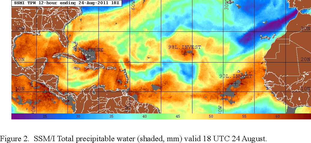
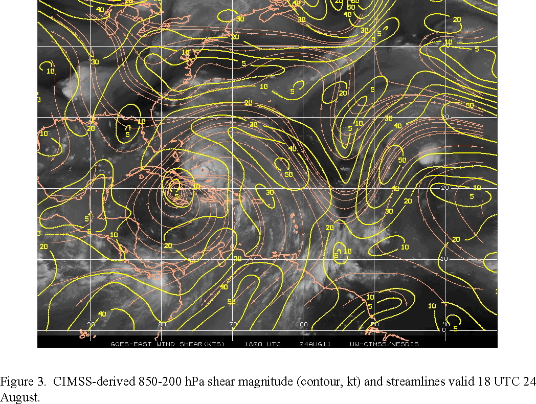
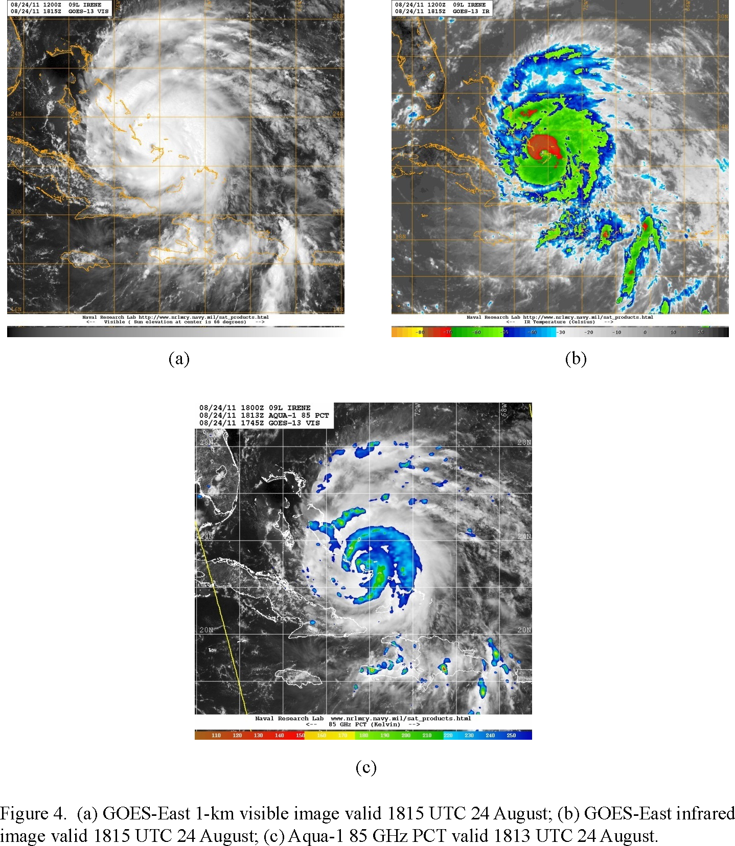
This is the third P-3 flight into Irene, which is a Cat-3 hurricane, that shows signs of continued intensification. The environment remains moderately favorable for development - there is some dry lower- to middle-tropospheric air remaining around the north and west side according to a total precipitable water image (Fig. 2), but CIMSS-derived 850-200 hPa shear is still around 10 kt or less (Fig. 3). Visible and infrared imagery at 1815 UTC (Fig. 4) show primarily cirrus on the west side of the storm, but cold cloud tops on the north side of the core and an outer band spiraling around the north to the east side of the storm. This general pattern is confirmed by a microwave pass around the same time. This may indicate a possible secondary eyewall developing, though, which would temporarily impede intensification.
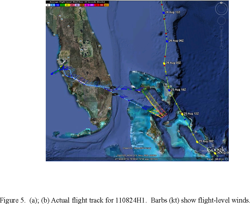
Takeoff was at 2014 UTC. On the way to the IP, a chip light indicator came on for Engine 1, so the mission was aborted (Fig. 5). Before returning to base, we executed a short pattern upwind and downwind in the Gulf of Mexico in a rain-free and weak-wind environment to calculate angle corrections for the tail Doppler radar.
Mission Evaluation:
Since we had to return to base before reaching our IP due to an engine chip light indicator, the mission was unsuccessful. A Doppler radar angle correction module was flown before RTB.
Problems :
Engine chip light indicator, so no mission accomplished.
Rob Rogers
Sept. 7, 2011
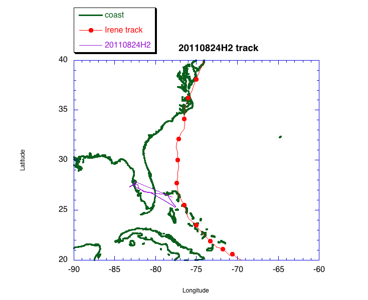 Track |
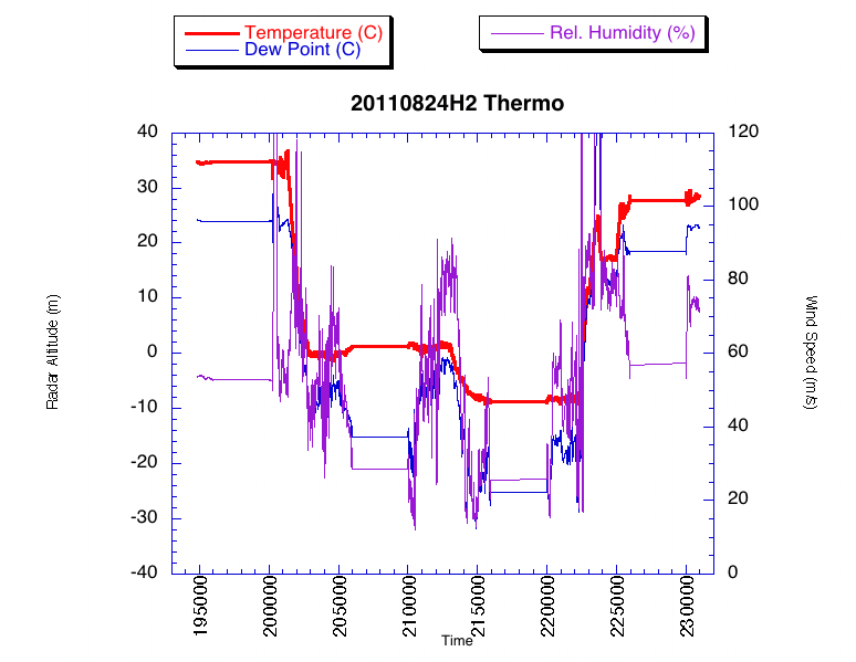 Temperature and Moisture |
 Wind and Atlitude |
FDir log |
LPS log |
Radar log