| Aircraft Commander | Harris Halverson |
| Co-pilot | Justin Kibbey |
| Co-pilot | Pat Didier |
| Navigator | Tim Gallagher |
| Navigator | Joe Bishop |
| Flight Engineer | Ken Heystek |
| Flight Engineer | Alan Puls (USN) |
| Flight Director | Ian Sears |
| Data Technician | Joe Bosko |
| Data Technician | Terry Lynch |
| System Engineer | Jeff Smith |
| Electronics Technician | Todd Richards |
| LPS | Rob Rogers |
| Drops | Jun Zhang |
| Radar | Hua Chen |
Mission Plan :
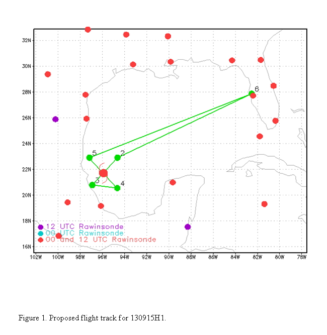
NOAA 42RF will fly TDR/RAPX pattern into Hurricane Ingrid. Pattern is a single figure-4, with an IP on the northeast side of storm (Fig. 1). Fly 100 nm leg lengths, but upon completion of the outbound leg to the northwest, turn 180 degrees and head back into the storm center, then track outbound 45 degrees to complete the pattern. Drop combination dropsonde/AXBT's at all turns, midpoints, and center passes. Possibly drop sondes at the RMW locations, if NHC requests. Fly pattern at 8000 ft altitude.
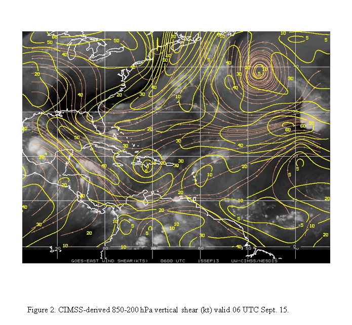
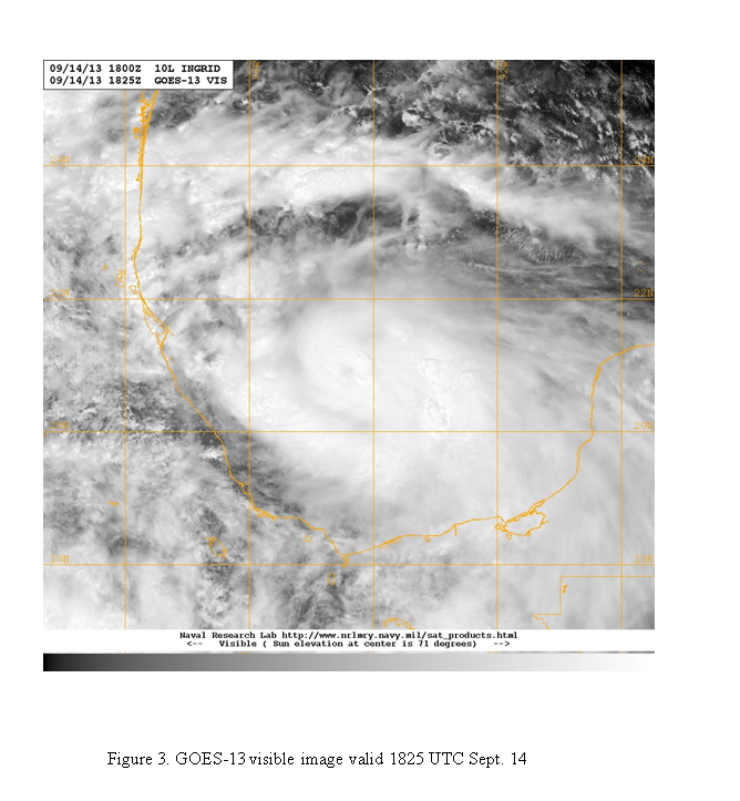
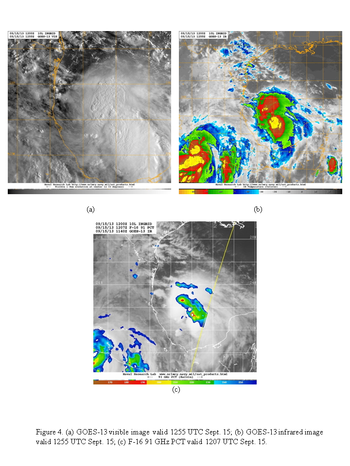
Ingrid has intensified about 25 kt in the last 24 h, despite the continued presence of ~20-25 kt of westerly shear (Fig. 2). A visible satellite image taken during the afternoon before this mission (Fig. 3) indicated an eye was beginning to become visible at about 21°N 94.5°W. By the time of the mission, however, the satellite presentation had deteriorated somewhat (Fig. 4). No eye was apparent, but there were two regions of deep convection - one over the circulation center and another displaced to the southeast. The system to the southeast appeared to have the more vigorous convection, as cloud top temperatures were lower there and ice scattering was more significant.
The P-3 will leave MacDill AFB, FL 0600 UTC and will recover at MacDill AFB, FL by 1500 UTC the same day.
Mission Summary :
| Take off | Landing
| MacDill AFB, FL | 05:59 UTC
| MacDill AFB, FL | 13:49 UTC
| | ||
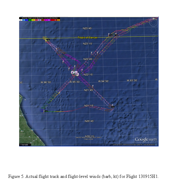
The pattern was flown generally as planned (Fig. 5). Take-off was at 0559 UTC. The only change was to head outbound tracking 000°, instead of tracking 315°, from the center for pilot training purposes.
 |
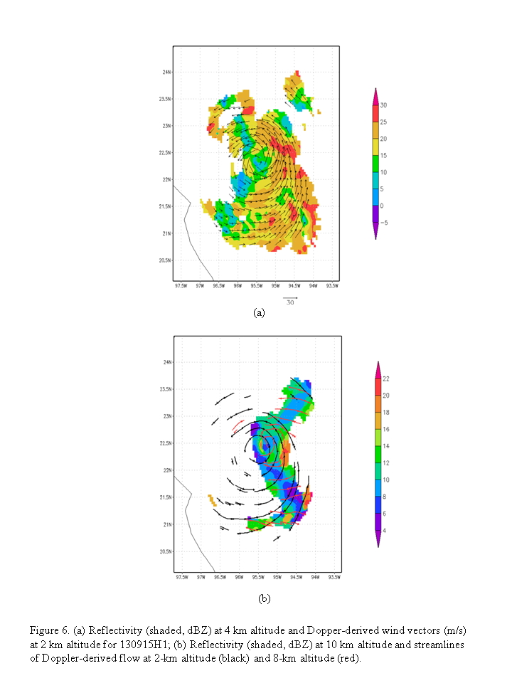 |
The storm is showing a classic shear structure - precipitation is concentrated on one side (Fig. 6; the east, or downshear, side), with an open eyewall on the right of shear side and a spiral band wrapping through the downshear side. Vigorous convection was only really evident in the upwind portion of the spiral band. Echoes reached up above 10 km altitude only on this upwind portion of the band, as well as a limited amount in the northern eyewall (Fig. 6b). Peak SFMR winds of ~65-70 kt were seen on the northeast side, and there was a pronounced asymmetry across the storm. The radar shows tilt of about 30-40 km toward the northeast between 2 and 8 km (Fig. 6b).
The aircraft completed its mission and landed at MacDill at 1350 UTC. A total of 17 GPS sondes and 10 AXBT's were dropped.
Mission Evaluation:
The mission did meet its objectives. The pattern was flown successfully, and we sampled a hurricane undergoing significant shear whose intensification stopped. All of the dropsondes worked; 3 AXBT's were corroded and failed. Those AXBT's were all dropped on the south side of the storm.
Problems :
Other than the 3 AXBT's mentioned above, there were no major problems with the mission.
Rob Rogers
Sept. 23, 2013
Mission Data :
 Flight track |
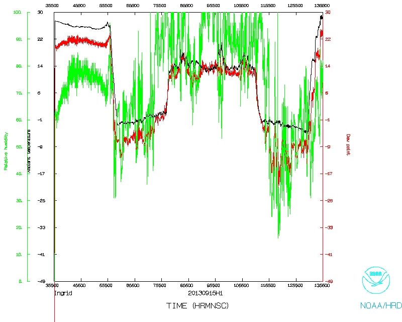 Temperature and Moisture |
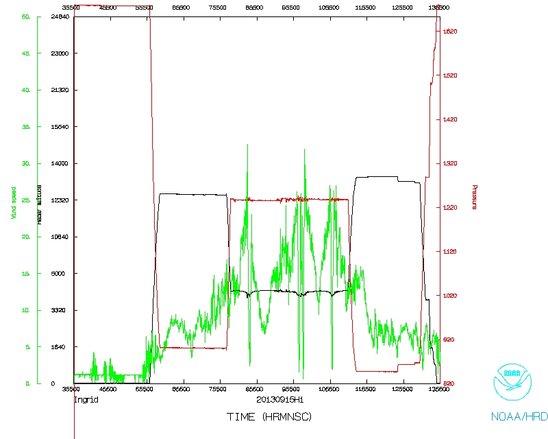 Wind and Atlitude |
|
Flight track detail |