Mission Summary
20080912H1 Aircraft 42RF
Ike Ocean Winds flight 2008
Scientific Crew (42RF)
| Lead Scientist | Frank Marks |
| Dropsonde Scientist | Bob Black |
| NESDIS Scientist | Paul Chang |
| NESDIS Scientist | Zorana Jelenak |
| NESDIS Scientist | Stofelen |
| NESDIS Scientist | Chu |
| Observer | Tau (UMass) |
Flight Crew (42RF)
| Pilots |
Al Girimonte |
| Flight Director | Barry Damiano |
| Navigator | |
| Flt. Eng. | Greg Bast |
| Data Tech | Bobby Peek |
| Elec. Tech | Bill Olney
Steve Wade |
Mission Plan :
N42RF flew an Ocean-vector winds mission into Hurricane Ike in the Gulf of
Mexico, dropping dropsondes near landbased team locations and AXBTs in
transit near the vicinity of the drifting buoy locations. No TDR mission as
there wasn't any Doppler radar. Last Ike mission with TO from MacDill AFB, FL
at 2100 UTC, and recover at MacDill AFB, FL by 0600 UTC.
Mission Summary :
| Take off
| Landing
| MacDill AFB, FL | 21:04 UTC
| MacDill AFB, FL | 05:23 UTC
| |
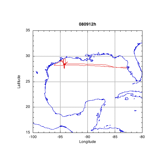
Pretty good landfall mission. Storm same intensity as last mission when we
arrived and appeared to be intensifying as it made landfall. Very interesting
storm structure with the eyewall trying to wrap around the center during the
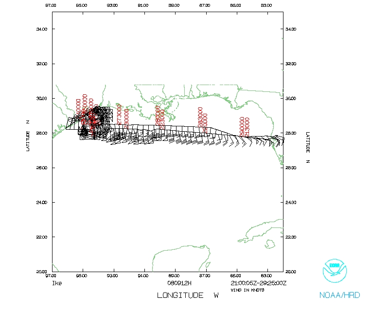
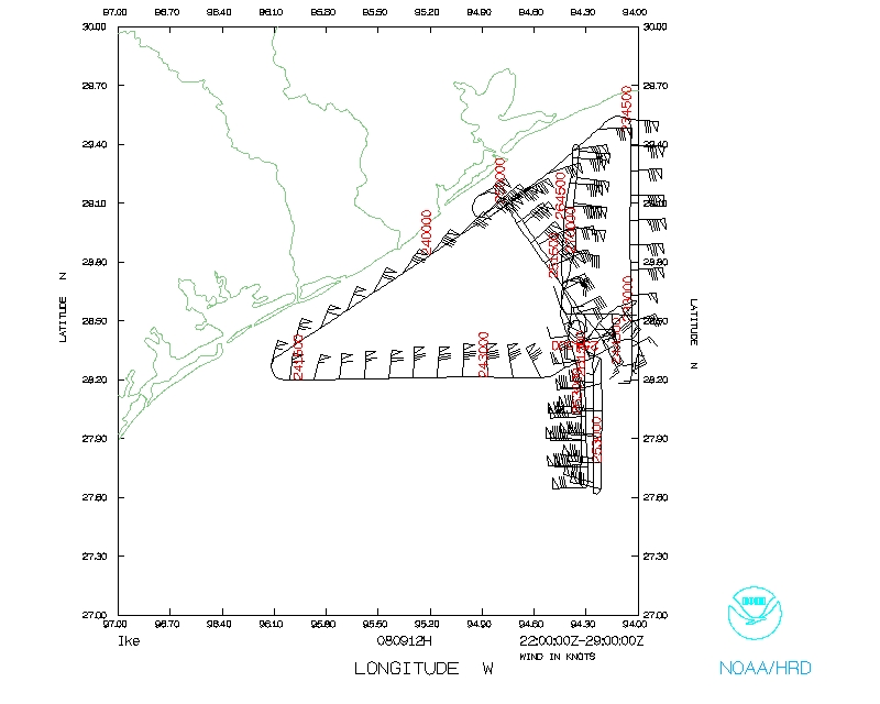
progress of the mission (see Fig. 1). The
eyewall was fairly open to the SW when we arrived, but during the mission the
major rainband wrapped around the SW and the S side making a nearly closed
eyewall by the time we departed. There was still a large area of rain extending
more than 200 nm to the E of the center.
For landbased team intercomparison we managed to get one leg down the TX coast
from just W of Port Arthur to NE of Corpus Christi ahead of the first major
rainband and twice moved up to coast near Galveston and Bolivar Peninsula in
between major rainbands to drop sondes for landbased team
(see flight track in Fig. 2). Completed AXBT
and dropsonde combo drops along track on 1st E-W leg through center and near
drifting buoy positions from the AFRC C-130 drops. Good coverage of offshore
and onshore dropsondes, as well as some good shallow water SFMR data.
Managed to get great coordination with QuikSCAT pass during one leg from NW
near Galveston to SE of center.
| Dropsondes | 21/20 transmitted
|
| AXBT | 10/6 worked
|
| Penetrations | 7
|
Problems :
No LF or Tail radar during this mission.
Frank Marks
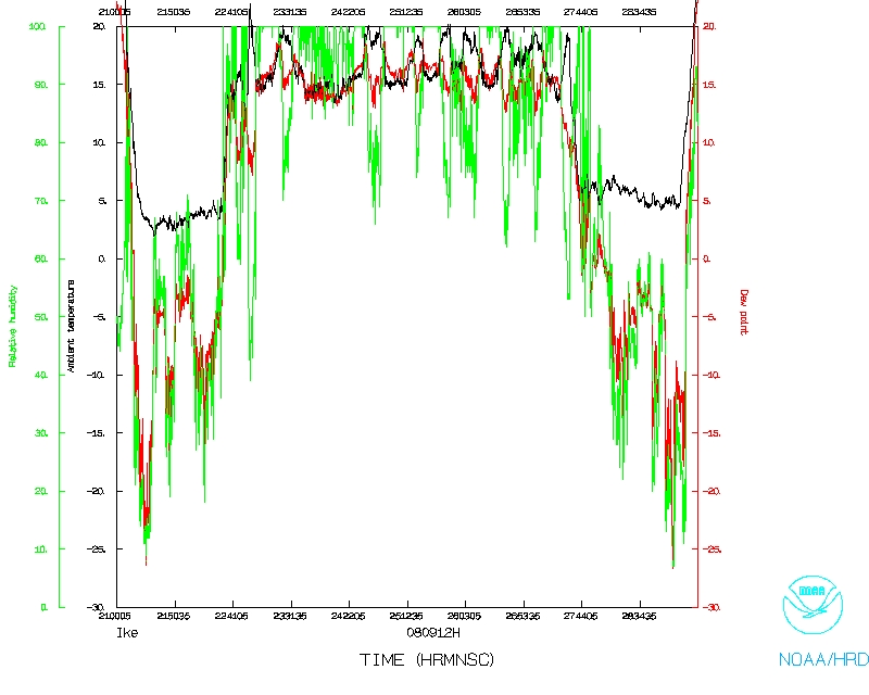
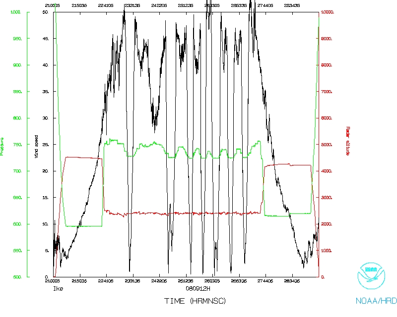
Mission Data :
Dropsonde plots
850 mb
925 mb
1000 mb
surface
NetCDF listing
Ten second listing
Page last updated April 22, 2009
Return to Mission page.