![]()


| Staff | Data Center | Contact Information |
IFEX daily logYesterday was the coordination test flight with N43RF and the NRL P-3. Both aircraft conducted flight-level intercomparisons at 8000 and 12,000 ft. and then they each dropped a GPS sonde over a buoy just offshore (buoy 42013). Drops from both aircraft worked well. No organized convection was occurring over water, so the aircraft targeted convection occurring north of Tampa over land. A north-south line of convection was flown with the NRL P-3 trailing N43RF. Lower-fuselage imagery was transmitted from N43RF nearly continuously (with a few breaks in transmission) and received on the ground. Two images, with NRL flight track overlain, were processed on the ground and relayed back to the NRL P-3, demonstrating the capability of performing this transmission in near real-time. This was a critical test for RAINEX. There were a few glitches that will need to be tested on a possible test flight tomorrow between N42RF and the NRL P-3. There was also a test transmission of tail Doppler-radar analyses off the aircraft to the AOML ftp site that was successfully completed, and a test was performed of the ability to download satellite imagery from HRD�s RAMSDIS satellite server to the workstation on the aircraft. That RAMSDIS test will require some further work, but it is anticipated that it will be functioning soon. Today is a down day. N43RF is ready to fly again, and N42RF is continuing to
undergo IWRAP installation and testing. It is anticipated that N42RF will be available
for a test flight tomorrow, possibly at 18 UTC. The NRL P-3 may or may not accompany
N42RF. The primary purpose for the test flight for N42RF is to test the IWRAP
instrument for Ocean Winds, but N42RF can transmit the LF data during the flight
regardless.
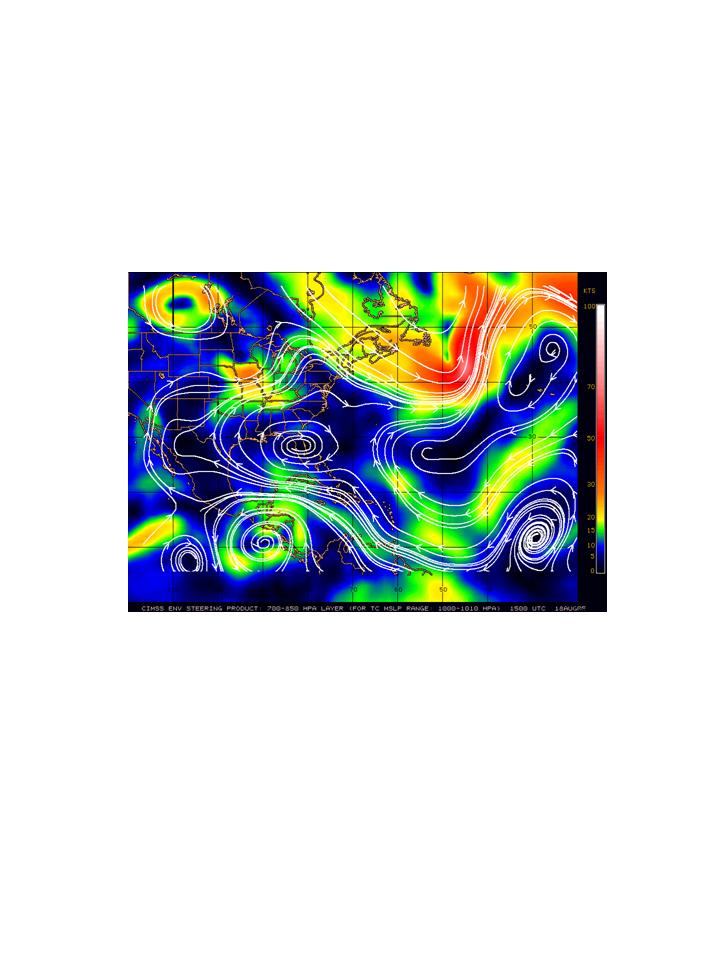
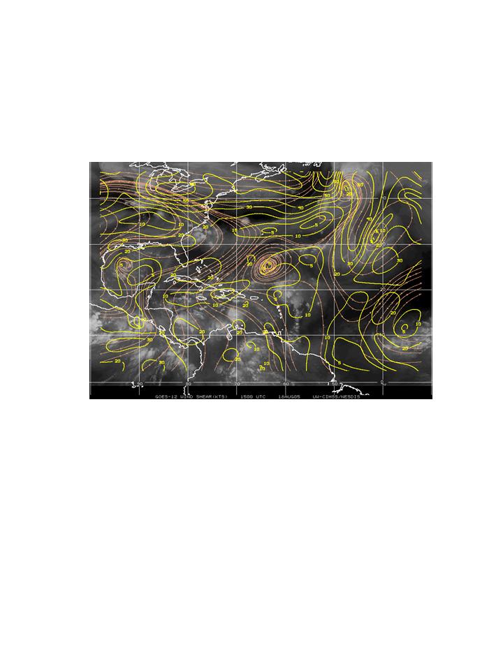
In the tropics the environments of the western Atlantic and northern Caribbean
continues to be dominated by a strong anticyclone in the lower levels (Fig. 6). This has
suppressed convection over the Florida peninsula and prevented development along its
eastern periphery due to vertical shear around the eastern edge of the anticyclone. The
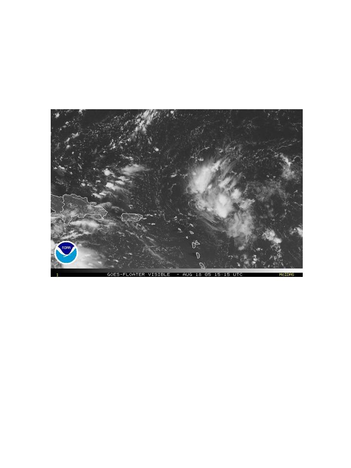
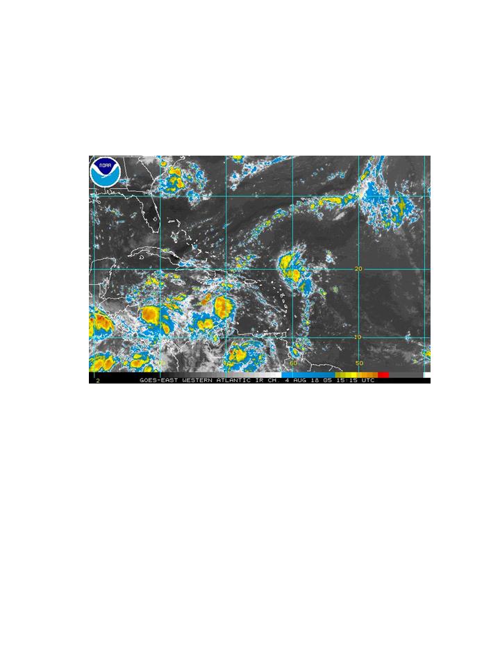
remnants of T.D.#10 remain disorganized. There is evidence that convection is
There are no imminent targets at this time, though there is consideration of flying another test flight into T.D.#10, especially if it develops into a tropical storm near the Bahamas. Such a flight would not likely be until Sunday, however. Rob Rogers |
![[OAR/DOC/NOAA Logos]](../../../oar_noaa_doc_logos3.jpg)