Mission Summary
20080829H1 Aircraft N42RF
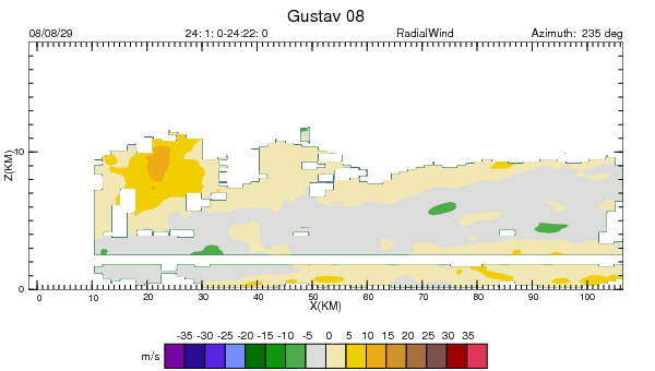
Hurricane Gustav 3D Doppler Winds/Ocean Winds Mission
Scientific Crew (42RF)
| Lead Project Scientist | John Gamache |
| Radar Scientist | Sylvie Lorsolo |
| Dropsonde Scientist | Bachir Annane |
| Ozone Scientist | Tom Carsey |
| NESDIS Scientist | |
| NESDIS Scientist | |
| NESDIS Scientist | |
Flight Crew (42RF)
| Pilots | Barry Choy
Al Girimonte |
| Flight Director | Barry Damiano |
| Navigator | Joe Bishop |
| Flt. Eng. | Greg Bast |
| Data Tech | Bobby Peek |
| Elec. Tech | Bill Olney
Steve Wade |
Mission Plan :
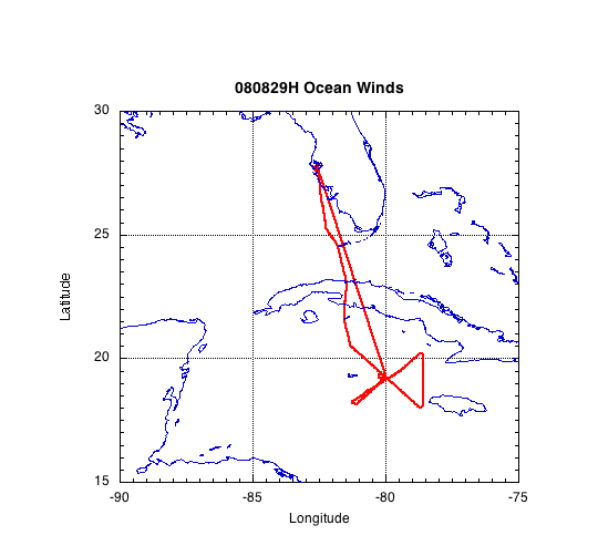
The original plan called for NOAA42 to fly a figure-4 pattern as shown
in the left panel of Fig. 1. It was unknown before flight time, if we
would need to fly around Cuba or be able to do an overflight. After the
Figure 4 pattern, NESDIS would be able to fly its pattern briefly, although
not shown in the flight plan in the left panel of Fig. 1. The flight was to
be kept under 9 hours block time, to prevent slippage in the 12-h flight
scheduling to provide data for the Hurricane Weather Research and Forecasting
(HWRF) model at the Environmental Modeling Center (EMC) of the National
Weather Service.
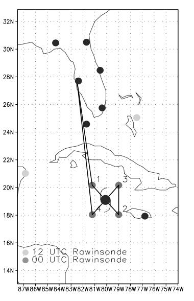
Figure 1. Originally proposed flight plan (without coastal survey).
Mission Summary :
|
Take off
|
Landing
|
| MacDill
|
20:19 UTC
|
MacDill
|
04:09 UTC
|
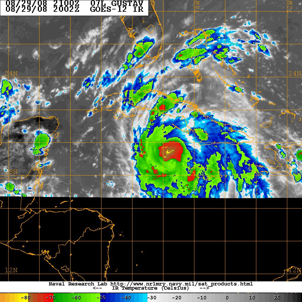
Figure 2. GOES-IR image at time of takeoff
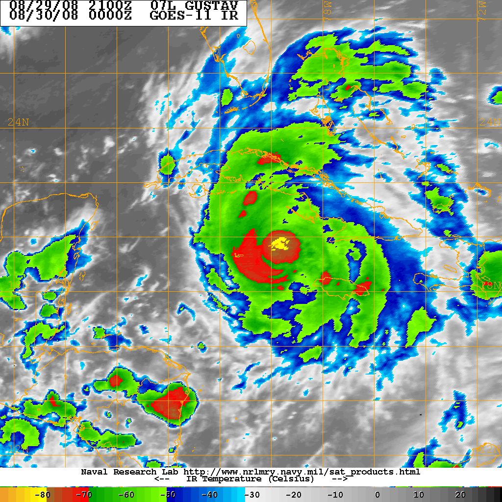
Figure 3. GOES-IR image during flight
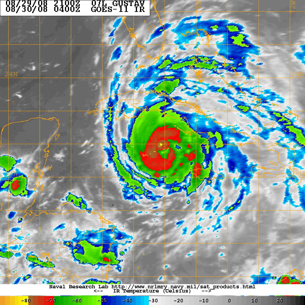
Figure 4. GOES-IR image near landing time
Transmitted Dropsondes
First Real-Time Analysis_Pass 1 (Pt. 1 - Pt. 2)
Second Real-Time Analysis--Pass 2 (Pt. 3 - Pt. 4)
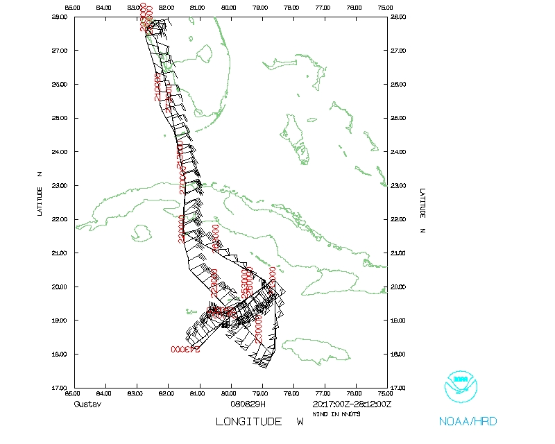
NOAA42 took off at 2019 UTC, and reached its initial point about 2 hours
later at 2215 UTC (20° 17'N, 81⪚ 5'W). The first pass through the
storm center was inward on a nominal track of 135. The center was first fixed
at 2245 UTC (19° 05'N, 79° 50'W). The aircraft continued on a nominal
track of 135 to a point SE of the hurricane center at 2310 UTC (18° 12'N,
78° 36'W). NOAA42 then turned northward to prepare for its second pass SW
through the hurricane. The point NE of the center was reached at 2337 UTC
(20° 11'N, 78° 43'W), where the aircraft turned southwestward along a
nominal track of 235 toward the center. The second fix of the hurricane center
was made at 0001 UTC (19° 15'N, 79° 58'W). The aircraft then continued
along a track of 235 to a point SW of the hurricane center, reaching it at
0027 (18° 9'N, 81° 7'W). This ended the portion of the flight
that was specifically designed for providing data for the HWRF model.
The rest was of the flight was for Ocean Winds, and a return to MacDill.
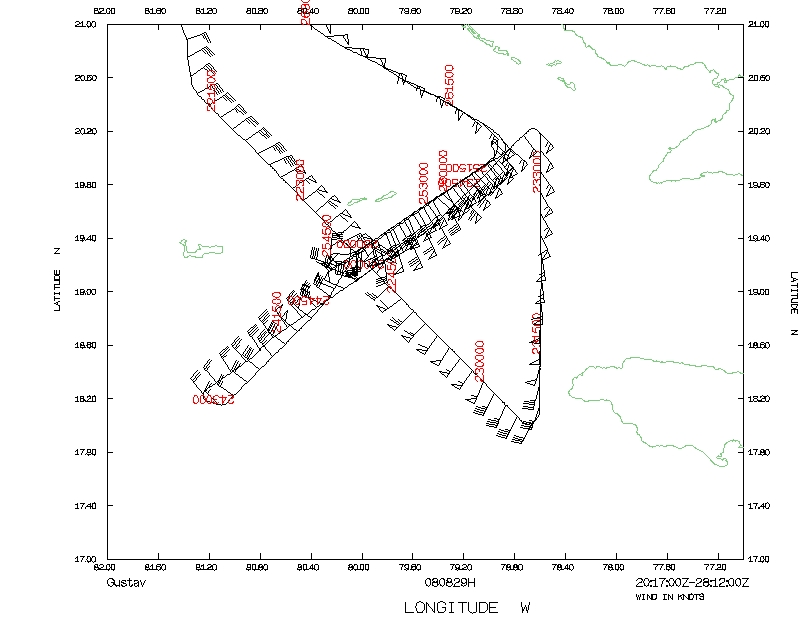
From there NOAA42 returned to the center, arriving there at 0050 UTC
(19° 15'N, 80° 6'W). The aircraft then flew one radial outward
from storm center along a track of 55°, returning along a reciprocal
to make a closest approach to the center at 0145 UTC (19° 17'N, 80°
14'W). Once more the aircraft reversed heading, traveling outward along
055°, reaching the final point of the science mission at 0208 UTC
(20° 01'N, 78° 54'W). The aircraft then returned to MacDill via Cuba,
landing at 0409 UTC.
On this mission 16 AXBTs were dropped, which worked very well. There were
12 GPS sondes dropped, 6 were sent from the aircraft, and there were 5 fast
falls, a very large number for one flight.
Weather:
Gustav became a hurricane during the beginning of the
mission. Some indication of intensification occurred during the flight,
but within 24 hours, Gustav was a major hurricane. This was a good time
to gather data to help models forecast the intensification of Gustav, since
it was at the beginning of the process.
John Gamache
10/15/08
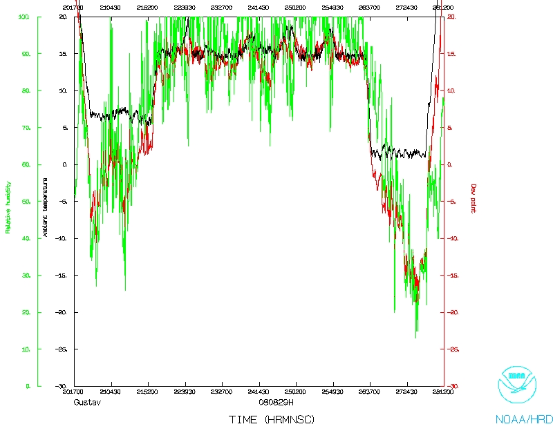
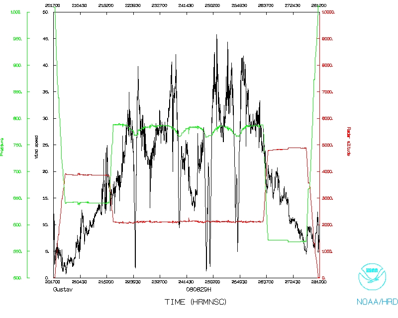
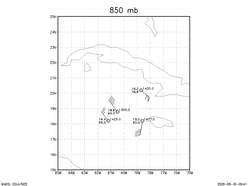
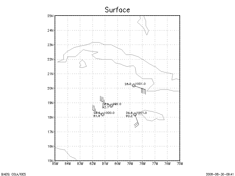
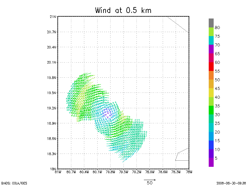
Mission Data
Dropsonde plots
850 mb
925 mb
1000 mb
1 second listing |
NetCDF listing
Page last updated Sept. 2, 2008
Return to Mission page.