GPS dropsonde (HSA) data format
| Storm/ Date | Aircraft (Duration) | Altitude | Experiment/ Pattern | Comments (expendables) |
| Floyd | ||||
| 14 October | N49RF (9 h) GPS dropsondes
N43RF (9.2 h) mission summary
| 45 kft
5 kft |
N49RF Synoptic Surveillance.
N43RF Reconnaissance/Air-Sea interaction. Fixes at 2100, 0000, and 0300 UTC. AXBT dropped ahead of storm in Florida Straits. GPS sondes in and around areas of active convection. |
|
On Friday 15 October N43RF scheduled for Windfields at Landfall mission with take off time 1930 UTC. The landfall experiment included an initial "figure 4", a series of coastal legs along the Keys and up the E coast of FL, and traverses across the Everglades. Because tropical storm-force winds were expected at MacDill AFB, N43RF recovered in Gulfport, MS at 0311 UTC.
| Storm/ Date | Aircraft (Duration) | Altitude | Experiment/ Pattern | Comments (expendables) |
| Irene | ||||
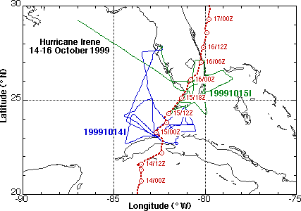
| 15 October | N43RF (9.2 h) mission summary
AXBT data WC-130 |
8 kft
5 kft |
Windfields at Landfall Experiment
N43RF Fig 4 with GPS drops at C-MAN sites and buoys in Keys to improve real-time and post-storm surface wind analyses.. Collected more wave and storm-surge data with SRA. Flight legs had radials off KAMX and KBYX. AXBTs were dropped in Gulf Stream . AFRES recon. |
|