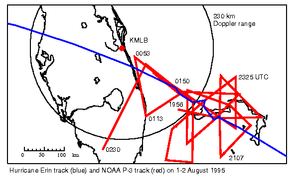
Research flight track of NOAA RF-43 on 1 August 1995. The flight track is
red, and the turns are labeled with UTC times, starting
at 1956 UTC. The track of Hurricane Erin is shown by the blue line. The
circle indicates 230 km range from the Melbourne WSR-88D, the maximum range
for Doppler data.