
AOML’s ecosystem assessment and modeling group is collaborating with the protected species and biodiversity lab at NOAA’s SEFSC to begin a water quality monitoring survey of South Florida’s Biscayne Bay watershed. Biscayne Bay is a designated Habitat Focus Area under NOAA’s Habitat Blueprint, a program which offers opportunities for NOAA to partner with organizations to address coastal and marine habitat loss and degradation issues. Scientists will collect continuous temperature, salinity, turbidity, dissolved organic matter, and fluorescence measurements, as well as discrete samples for Chlorophyll a, nutrients, and phytoplankton. The surveys will occur quarterly and will examine the sources of potential contaminants from canals and waterways, and the subsequent effects these contaminants will have on the Bay.
Photo credit: NOAA
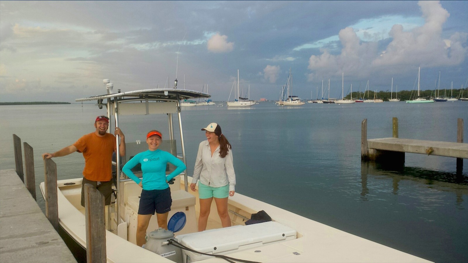
Image Captions
From Left:
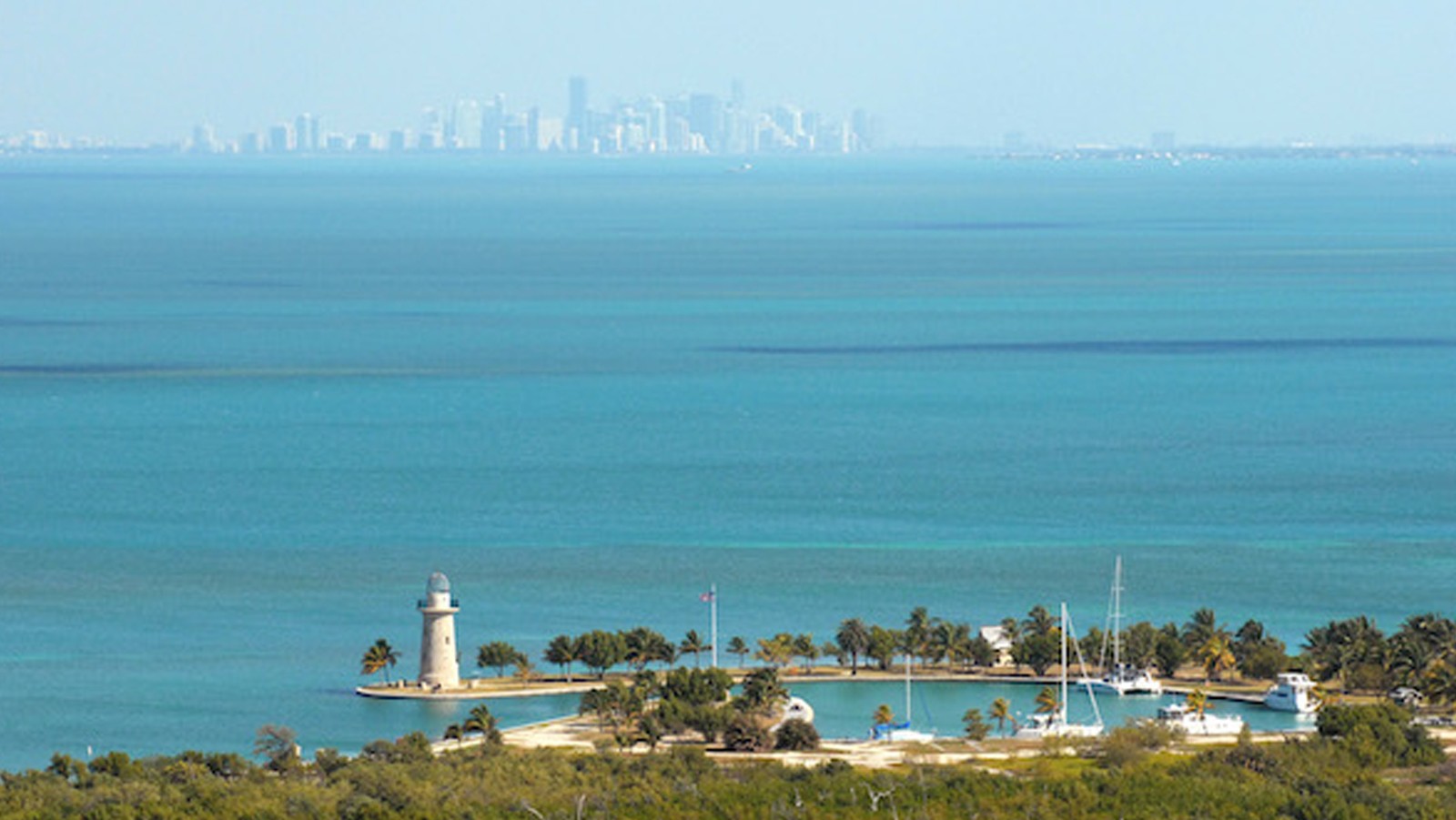
- An aerial view of Boca Chita Key surrounded by Biscayne Bay. Image credit: National Park Service
- AOML scientists conduct a survey to monitor water quality and other parameters in the Biscayne Bay watershed. Image credit: NOAA