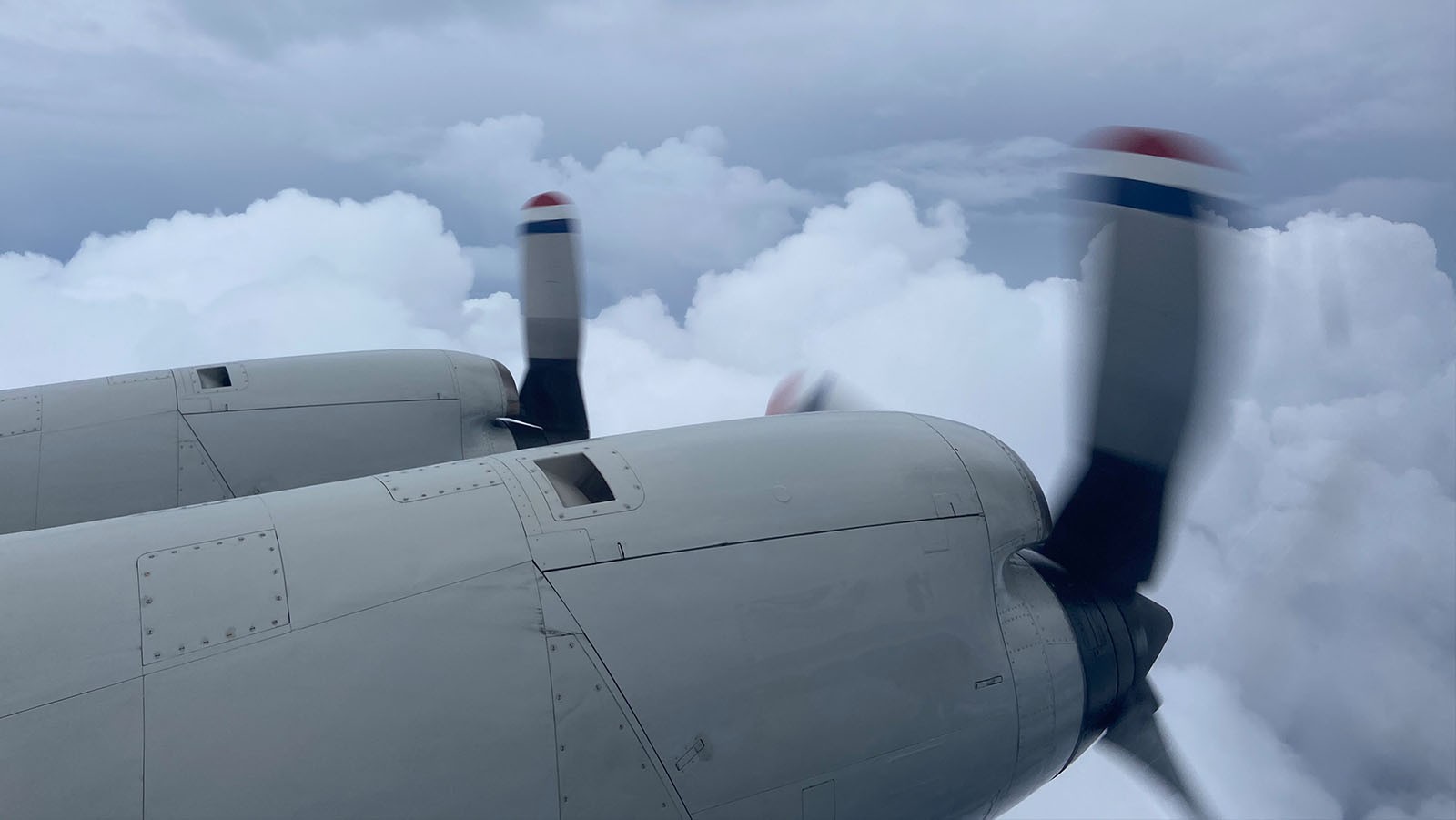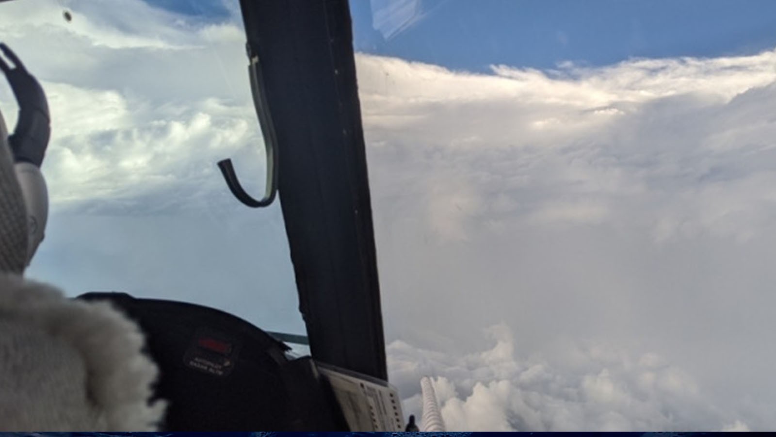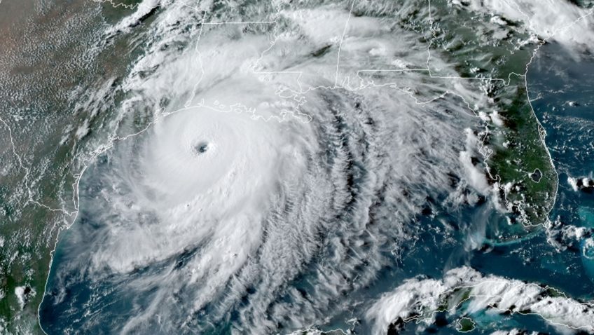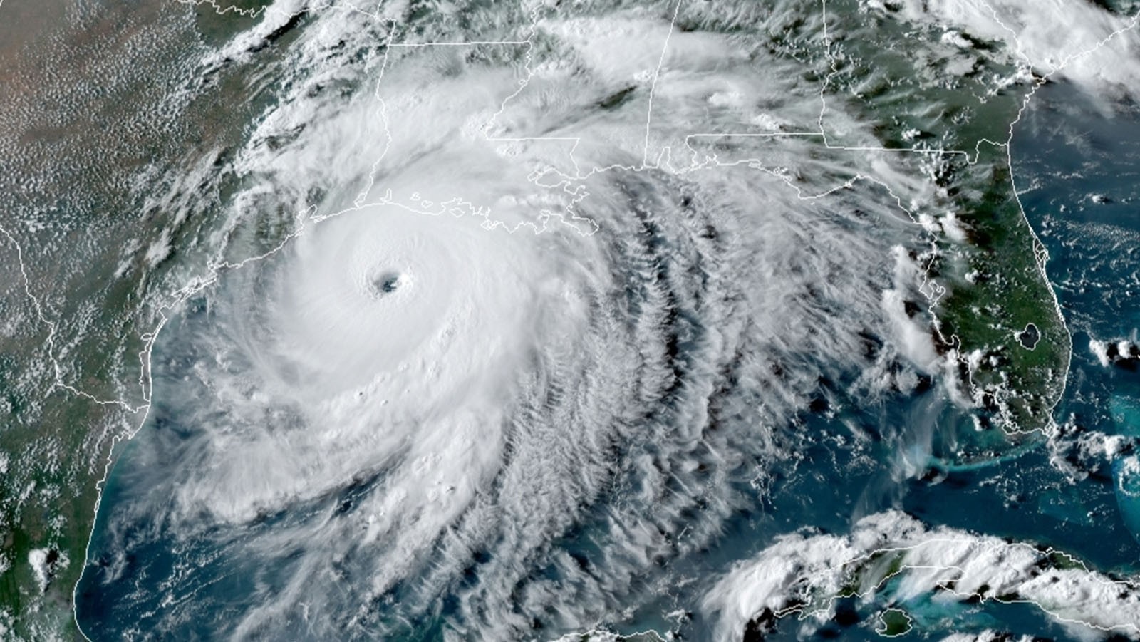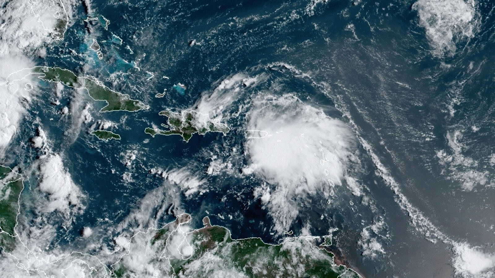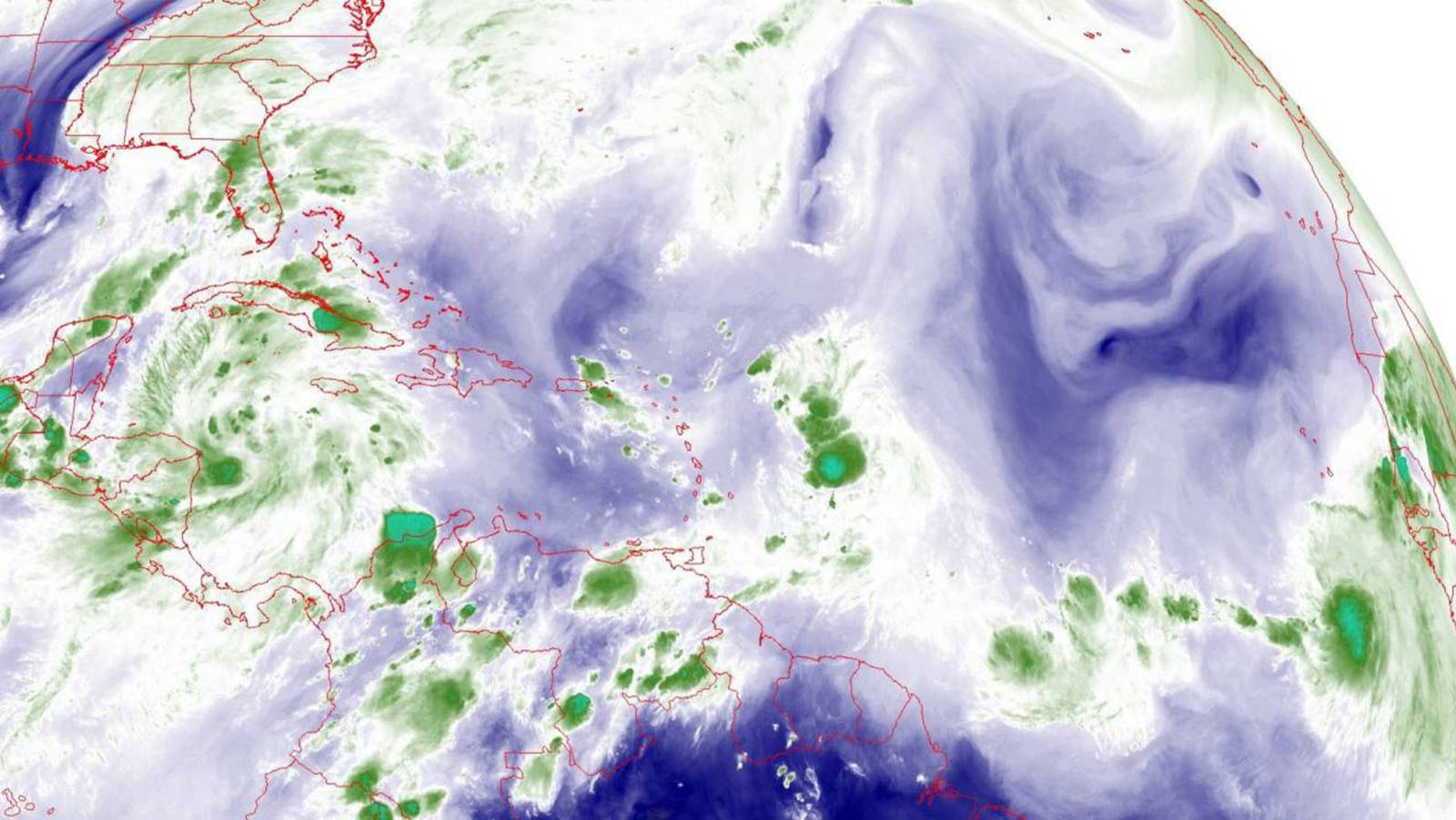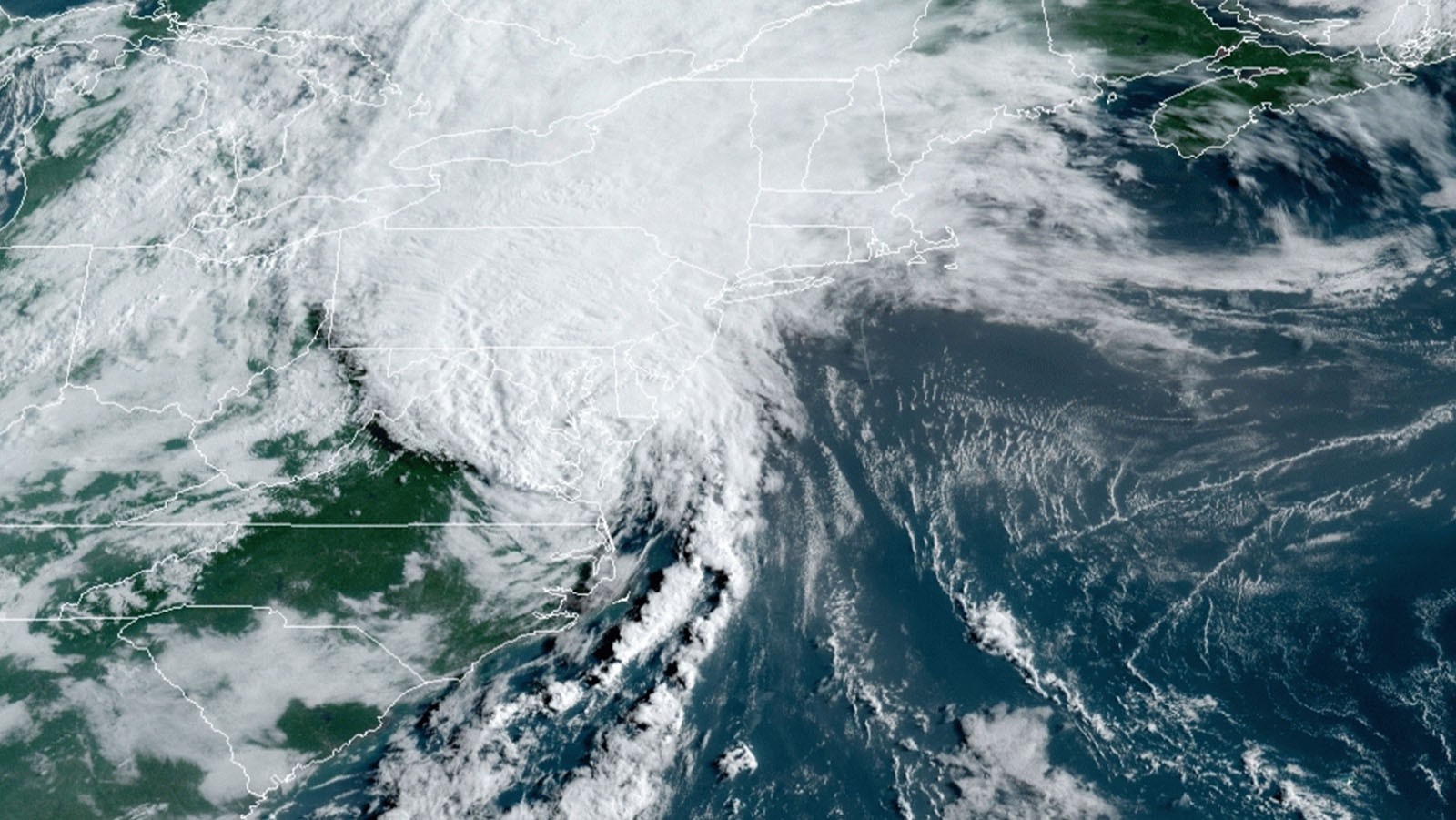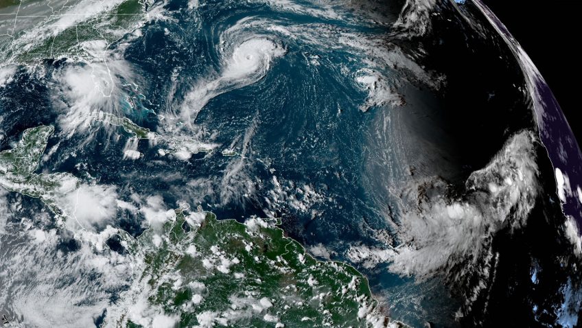

NOAA Hurricane Hunters to Fly Multiple Missions into Tropical Storm Sally and Hurricane Paulette
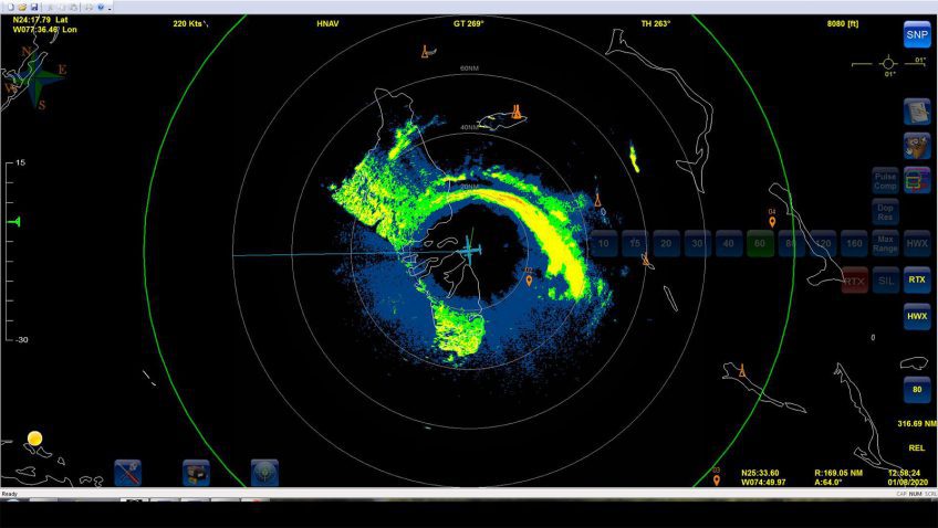
A very active peak in this year’s Atlantic hurricane season has prompted NOAA’s National Hurricane Center (NHC), Environmental Modeling Center (EMC), and AOML’s Hurricane Research Division to task their G-IV and both P-3 aircraft to investigate multiple storms in the Gulf of America and mid-Atlantic.