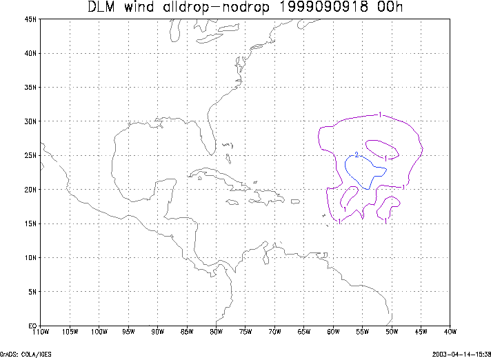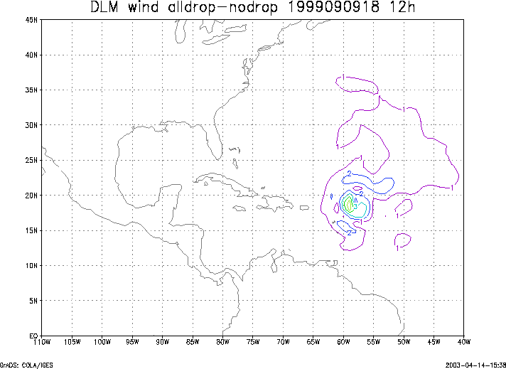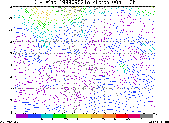
QuickTime movie of DLM wind model
forecasts
QuickTime movie of DLM wind data
increments
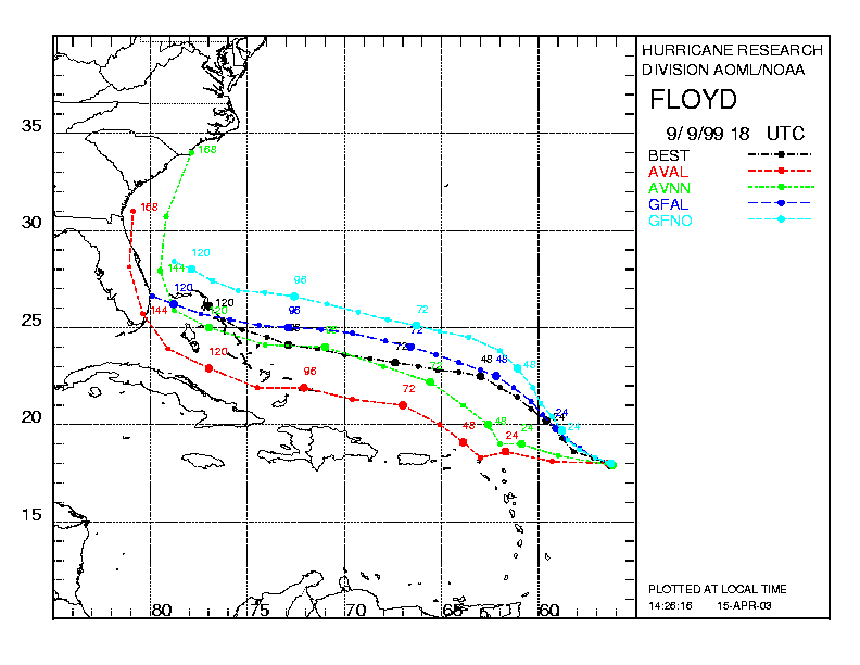
| TRACK (km) | |||||||||||||||||||||||||||||||||||||||||||||||||||||||||||||||||||||||||||||||||||||||||||||||||||||||||||||||||||||||||||||||||||||||||||||||||||||||||||||||||||||||||||||||||||||||||||||||||||||||||||||||||||||||||||||||||||||||||||
| MODEL | 12 h | 24 h | 36 h | 48 h | 60 h | 72 h | 84 h | 96 h | 108 h | 120 h
|
| AVNN | 87. | 190. | 282. | 281. | 241. | 215. | 214. | 193. | 150. | 122.
| AVAL | 128. | 283. | 397. | 389. | 311. | 248. | 259. | 258. | 343. | 355.
| %IMP | -47% | -49% | -41% | -38% | -29% | -11% | -21% | -34% | -129% | -191%
|
| GFNO | 33. | 100. | 129. | 200. | 249. | 239. | 254. | 279. | 223. | 229.
| GFAL | 39. | 68. | 76. | 82. | 121. | 120. | 129. | 100. | 82. | 180.
| %IMP | -18% | 32% | 39% | 59% | 51% | 50% | 49% | 54% | 63% | 21%
| INTENSITY (kt)
| MODEL | 12 h | 24 h | 36 h | 48 h | 60 h | 72 h | 84 h | 96 h | 108 h | 120 h
|
| AVNN | -21. | -36. | -59. | -52. | -54. | -75. | -95. | -85. | -64. | -70.
| AVAL | -18. | -31. | -52. | -52. | -53. | -72. | -94. | -86. | -62. | -64.
| %IMP | 14% | 14% | 12% | 0% | 2% | 4% | 1% | -1% | 3% | 9%
|
| GFNO | 32. | 18. | -1. | 17. | 14. | -4. | -17. | -5. | 7. | 8.
| GFAL | 31. | 27. | 15. | 13. | 7. | -9. | -15. | -13. | 15. | 15.
| %IMP | 3% | -50%-1400% | 24% | 50% | -125% | 12% | -160% | -114% | -88%
|
| SHNO | 10. | 7. | -13. | -3. | -5. | -22. | -41. | -30. | -9. | -14.
| SHAL | 10. | 6. | -17. | -8. | -12. | -29. | -49. | -39. | -19. | -23.
| %IMP | 0% | 14% | -31% | -167% | -140% | -32% | -20% | -30% | -111% | -64%
|
| DSNO | 10. | 7. | -13. | -3. | -5. | -22. | -41. | -30. | -9. | -14.
| DSAL | 10. | 6. | -17. | -8. | -12. | -29. | -49. | -39. | -19. | -23.
| %IMP | 0% | 14% | -31% | -167% | -140% | -32% | -20% | -30% | -111% | -64%
| | ||||||||||
| 14/1200 UTC 25.4N 76.3W Near Alice Town, Eleuthera 114 h into the forecast | ||||||||||||||||||||||||||||||||||||||||||||||||||||||||||||||||||||||||||||||||||||||||||||||||||||||||||||||||||||||||||||||||||||||||||||||
| MODEL | LAT | LON | TIME | ERROR | LOCATION
|
| AVNN | 24.12 | 74.48 | 109.5 | 232.2 | San Salvador, Bahamas
| AVAL | 21.89 | 72.00 | 107.0 | 586.2 | North Caicos, Turks and Caicos Islands
| %IMP | -56% | -152%
|
| GFNO | 27.43 | 77.15 | 116.0 | 241.2 | Near Abaco Island, Bahamas
| GFAL | 25.58 | 76.74 | 111.5 | 48.4 | Eleuthera Island, Bahamas
| %IMP | -25% | 80%
|
|
14/1900 UTC 26.3N 77.1W Near Cherokee Sound, Abaco 121 h into the forecast
| MODEL | LAT | LON | TIME | ERROR | LOCATION
|
| AVNN | 24.23 | 75.35 | 118.0 | 289.5 | Cat Island, Bahamas
| AVAL | 22.49 | 76.46 | 117.5 | 428.2 | Near Ragged Island, Bahamas
| %IMP | -17% | -48%
|
| GFNO | 27.43 | 77.15 | 116.0 | 125.6 | Near Abaco Island, Bahamas
| GFAL | 25.74 | 77.33 | 114.0 | 66.3 | Abaco Island, Bahamas
| %IMP | -40% | 47%
|
|
16/0630 UTC 33.8N 78.0W Near Cape Fear, NC 156.5 h into the forecast
| MODEL | LAT | LON | TIME | ERROR | LOCATION
|
|
| AVNN | No landfall forecast
| AVAL | No landfall forecast
| %IMP |
|
| GFNO | No landfall forecast
| GFAL | No landfall forecast
| %IMP |
| | ||||||||||||||||||||||||||||||||||||||||||