Humberto
20010924N
| Take off :
| MacDill AFB, FL
| 17:30 Z
| September 24, 2001
|
| Landing :
| Savannah, GA
| 01:55 Z
| September 25, 2001
|
HRD Personnel
| Sim Aberson
|
| Paul Reasor
|
Mission Briefing :
Synoptic surveillance mission for Hurricane Humberto, possibly
threatening the northeastern United States. Regular mission
slightly modified due to COVES NOAA/NASA research missions.
Important points are a five degree
octagon around the storm (including the Bermuda sounding).
Mission Synopsis :
Flight track flown exactly as planned except for recovery
in Savannah to get plane repaired.
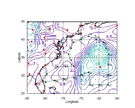
Synoptic findings :
- Environmental surface pressures were high. All surface
pressures, except near the cold front approaching the southeast
U. S. coast, were between 1015 and 1019 hPa. Because the of high
environmental pressures, inner-core winds are higher than usual
given the central pressure.
- Environmental surface winds were light in the environment.
Due to the poor forecast position, the eastern periphery of the
small hurricane was sampled. One dropwindsonde had 31 kt at the
surface; this apparently did not get into the HRD surface
analysis. The specialist on duty increased the radius of gale
force winds based on this dropwindsonde.
- No data showed the presence of the upper-level anticyclone
seen the previous day. Humberto was weakening under the strong
upp-level westerlies over the storm.
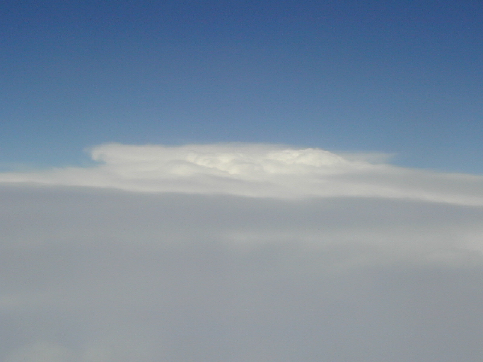
- One one small bit of
convection was overshooting the cirrus shield in the inner
core of the storm, as seen visually from the aircraft. The
cirrus was at about 40K ft, and the shadow of the
G-IV's contrail along with a
glory were seen there. The only overshooting top was seen in
the strong band, resembling
a cold front, well southeast of the storm center.
- A ridge axis was southeast of Humberto along 32°N, from
200 hPa to the surface. This suggests a further turn to the east
in the strong westerlies just to the north of the storm. The
longwave trough was flatter than expected, suggesting a more
easterly track than expected.
- A cold low was located near 32.5°N 70°W at 200 hPa
extending to 29°N 71°W at 500 hPa.
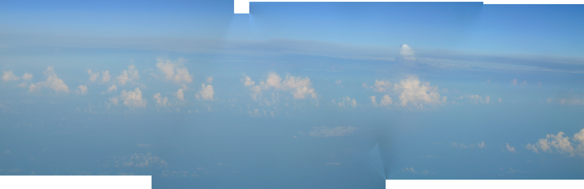
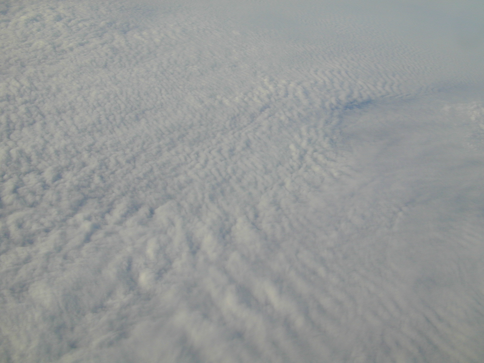
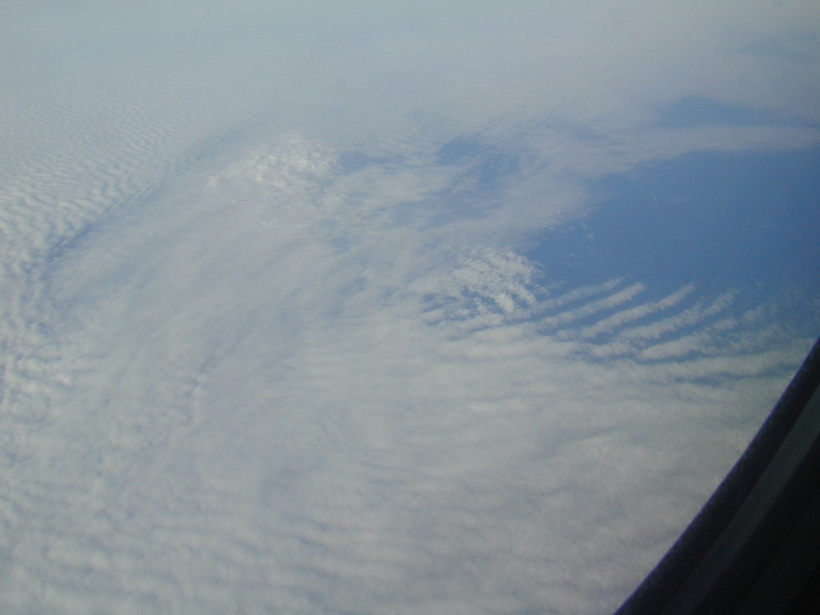
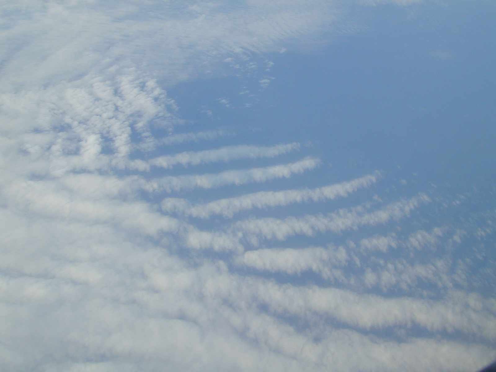
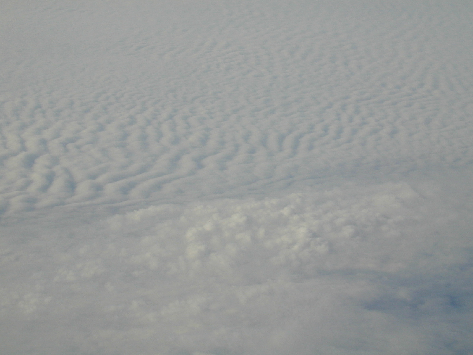
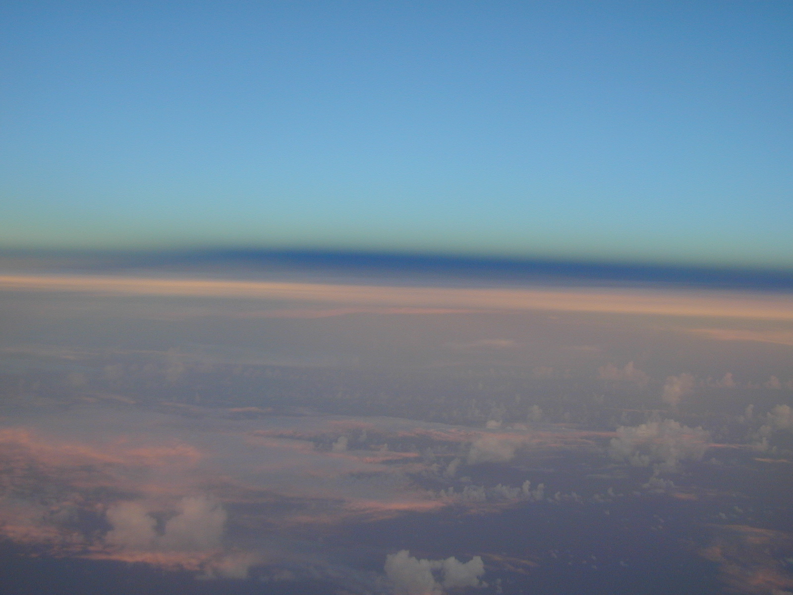
- The cold front off the United States east coast had moved
further east. A large deck of stratocumulus with a great amount
of structure persisted off the northeastern United States coast.
See
picture 1,
picture 2,
picture 3,
picture 4, or
picture 5.
- The terminator, the shadow of the
earth, was seen at sunset.
Evaluation :
- Paul Reasor continued his training to run HAPS and process
dropwindsondes.
- The dropwindsonde data had a big impact on the numerical
guidance, pushing the storm further to the east away from the
coast in the models. The data were mentioned in the 11pm and 5am
Humberto discussions.
- Click here to see
the impact of the dropsonde data on the forecasts.
Problems :
- There was some SATCOM difficulty, especially before sunset.
However, they were not as bad as the previous day.
- Sonde number 7 needed to be retransmitted as instructed by
Warren Van Werne at CARCAH.
- Two dropwindsondes, numbers 9 and 13, had the problem of
transmitting data at 0.4 and 0.6 s intervals. The files were
manually edited to fix this problem, and the good data were sent
out.
- Dropwindsonde 21 was a fast fall and was replaced. Data from
the fast fall were not sent out.
DROP LOCATIONS
Aircraft: N49RF
Takeoff: Sept. 24 at 17:30Z
| #
| LAT
(° m)
| LON
(° m)
| ELAPSED
TIME
(h:mm)
|
| 1 | 30 | 30 | 79 | 30 | 0:31
|
| 2 | 32 | 30 | 76 | 30 | 0:59
|
| 3 | 32 | 36 | 74 | 16 | 1:16
|
| 4 | 32 | 42 | 72 | 03 | 1:33
|
| 5 | 34 | 21 | 72 | 45 | 1:47
|
| 6 | 36 | 00 | 73 | 27 | 2:02
|
| 7 | 37 | 39 | 72 | 46 | 2:16
|
| 8 | 39 | 19 | 72 | 04 | 2:31
|
| 9 | 40 | 09 | 69 | 59 | 2:47
|
| 10 | 40 | 00 | 67 | 54 | 3:03
|
| 11 | 40 | 09 | 65 | 48 | 3:20
|
| 12 | 39 | 19 | 63 | 43 | 3:36
|
| 13 | 37 | 39 | 63 | 01 | 3:51
|
| 14 | 36 | 00 | 62 | 20 | 4:05
|
| 15 | 33 | 09 | 62 | 23 | 4:28
|
| 16 | 30 | 19 | 62 | 26 | 4:52
|
| 17 | 27 | 30 | 62 | 30 | 5:15
|
| 18 | 27 | 30 | 65 | 00 | 5:34
|
| 19 | 27 | 30 | 67 | 30 | 5:53
|
| 20 | 31 | 00 | 67 | 54 | 6:22
|
| 21 | 30 | 15 | 69 | 57 | 6:39
|
| 22 | 29 | 30 | 72 | 00 | 6:56
|
| 23 | 29 | 05 | 74 | 37 | 7:16
|
| 24 | 28 | 40 | 77 | 15 | 7:36
|
| 25 | 28 | 15 | 79 | 53 | 7:57
|
Return to Humberto mission page.
Return to Humberto page.