Humberto
20010923N
| Take off :
| MacDill AFB, FL
| 17:30 Z
| September 23, 2001
|
| Landing :
| MacDill AFB, FL
| 02:00 Z
| September 24, 2001
|
HRD Personnel
| Sim Aberson
|
| Paul Reasor
|
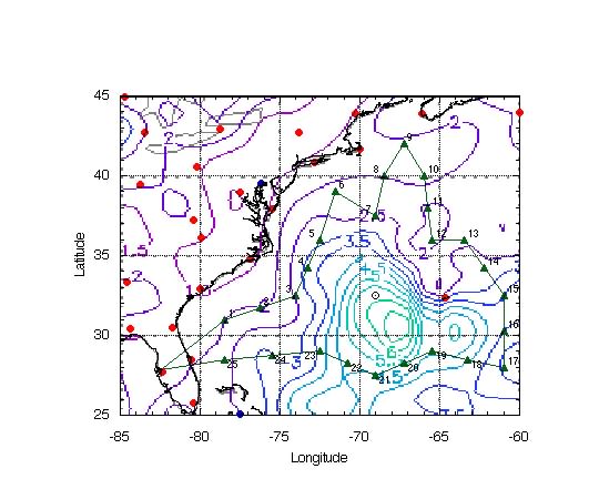
Mission Briefing :
Synoptic surveillance mission for Hurricane Humberto, possibly
threatening the northeastern United States. Regular mission
slightly modified due to COVES NOAA/NASA research missions.
Important points are a five degree
octagon around the storm (including the Bermuda sounding), and
to get the strength of the ridge to the east of Humberto.
Mission Synopsis :
Flight track flown exactly as planned except for 1.25 hours
delay due to engine problems.
Synoptic findings :
- Environmental surface pressures were high. All surface
pressures during the mission were between 1015 and 1020 hPa.
Because the of high environmental pressures, inner-core winds are
higher than usual given the central pressure.
- Environmental surface winds were light, and barely showed the
storm circulation. Humberto is a small storm.
- Humberto was located at the western end of a well-defined
anticyclone at and above 250 hPa. This allowed for the
development of Humberto into a category 2 hurricane during the
mission.
- Strong westerly winds were beginning to impinge upon the
circulation at 300 hPa, suggesting that a downturn in intensity
was likely.
- A shortwave in the long-wave trough over the eastern United
States was located at 250 and 300 hPa just off the coast of
Wilmington, NC. This probably will not impact the track for
another day.
- A ridge axis was east of Humberto along 32°N, from 400
hPa to the surface. This suggests a turn to the east in the
strong westerly just to the north of the storm.
- A weak cyclone circulation was located near 40°N
67.5°W near the surface. However, surface pressures were
high in this area.
- A cold low was located near 29°N 73°W at 200 hPa, and
this feature tilted and had a surface reflection near 29°N
66°W. This feature is unlikely to impact the track.
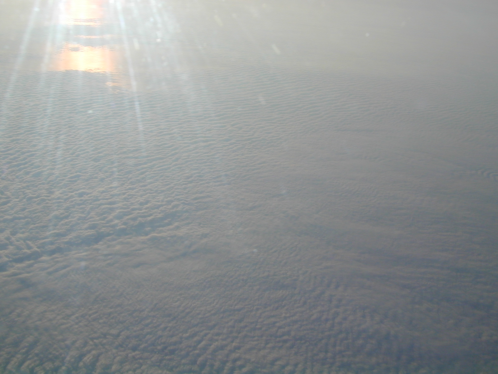
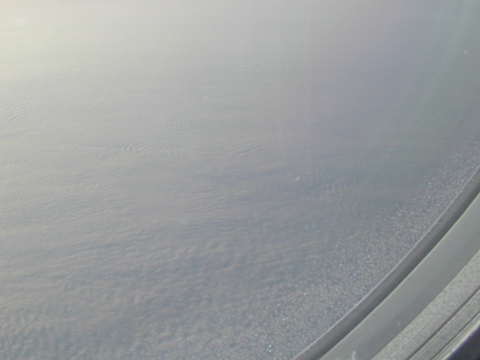
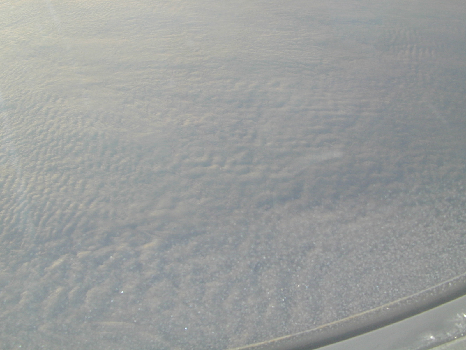
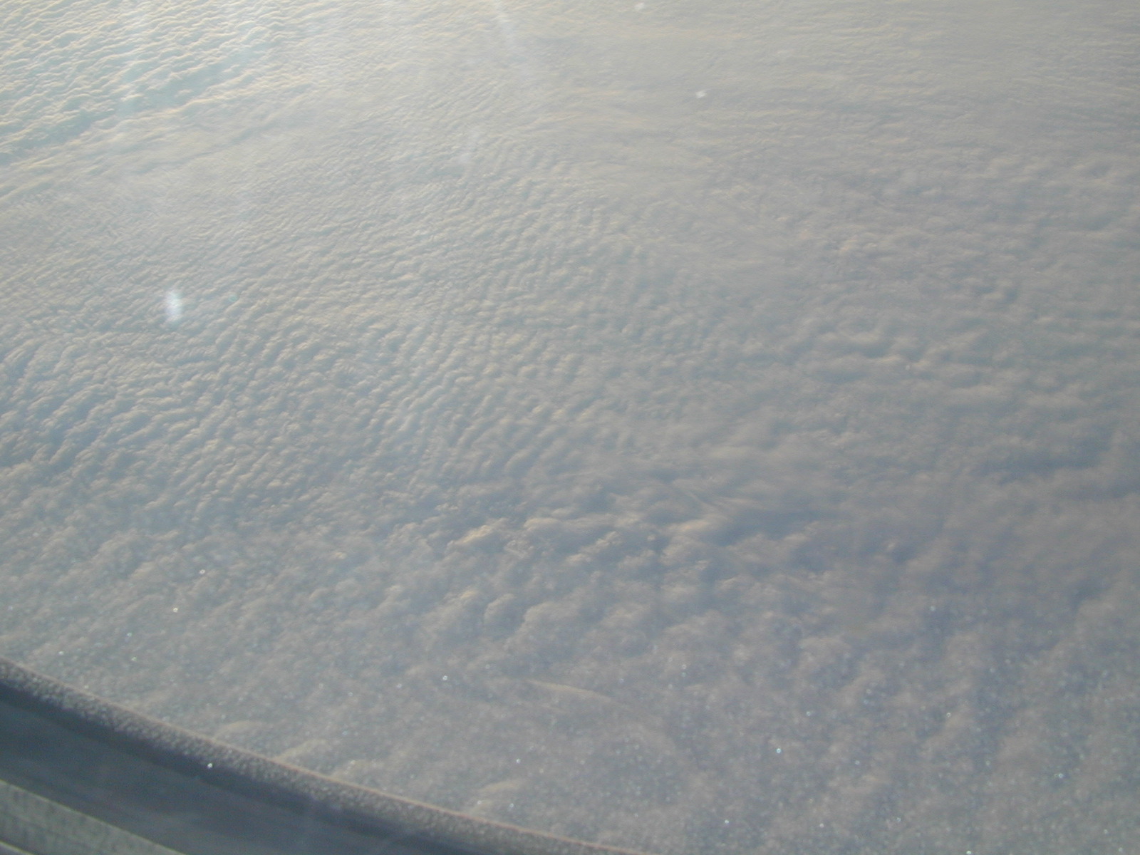
- A cold front had passed off the United States east coast. As
the cold air moved over the warm waters of the Atlantic, a deck
of stratocumulus was in evidence. The layers of clouds had
fascinating structure. See
picture 1,
picture 2,
picture 3,
picture 4, or
picture 5.
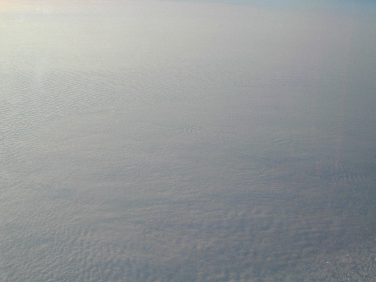
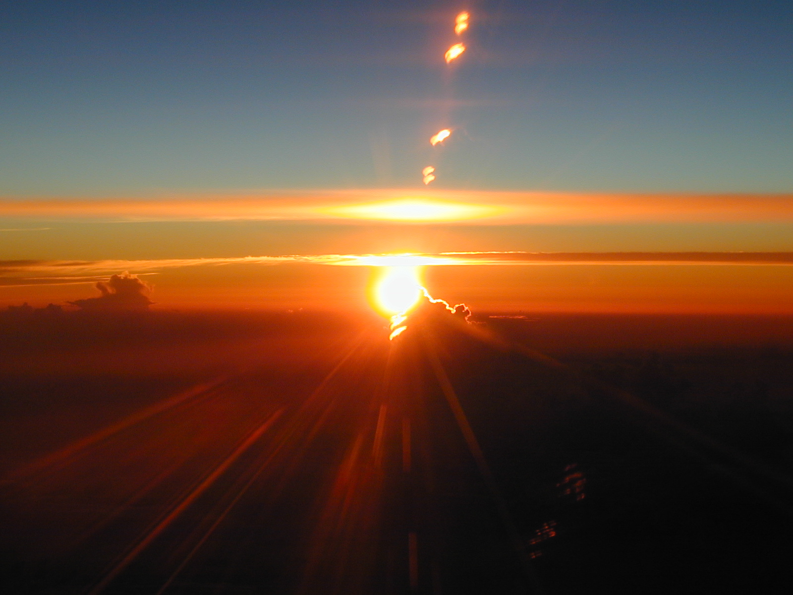
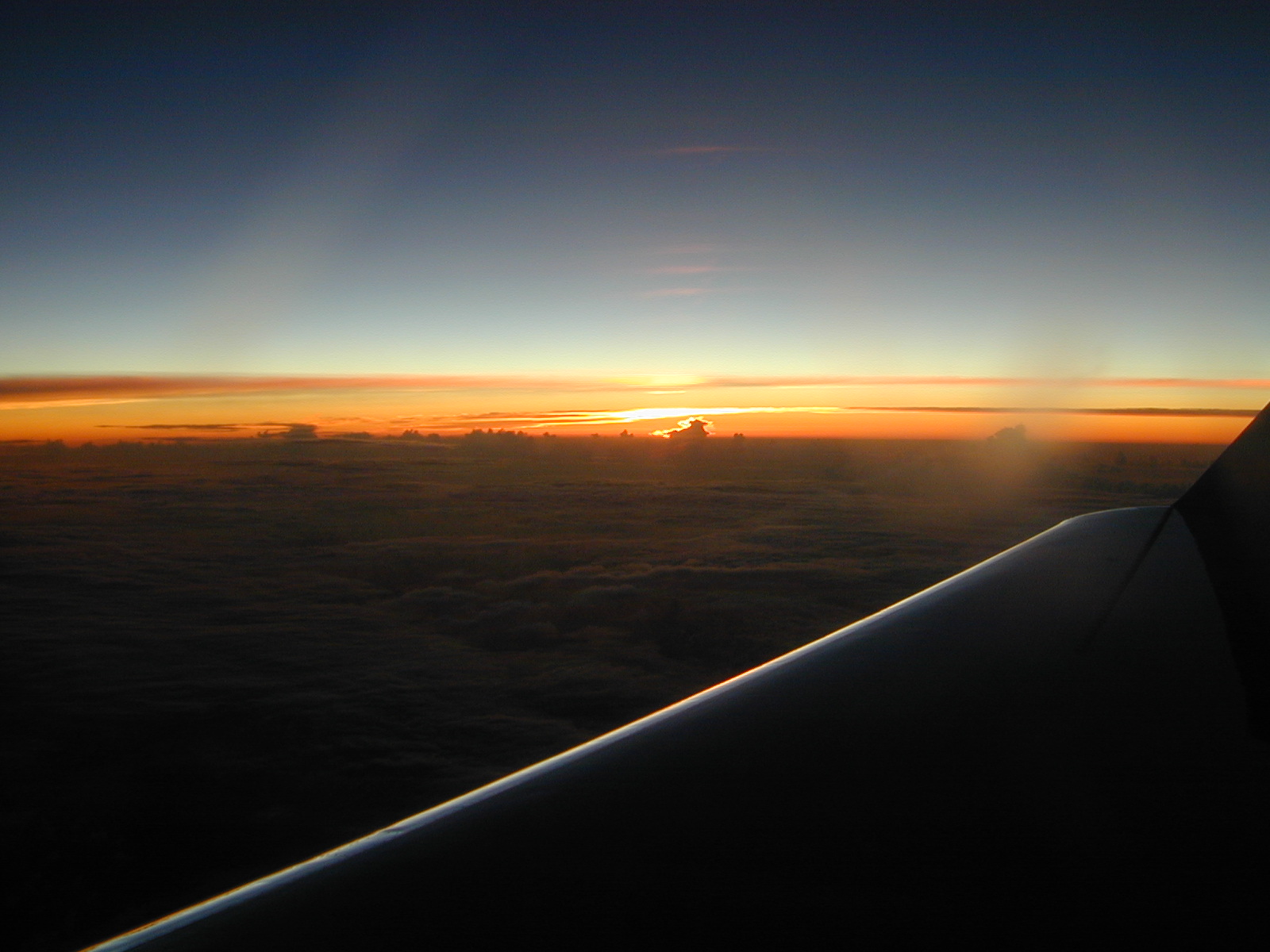
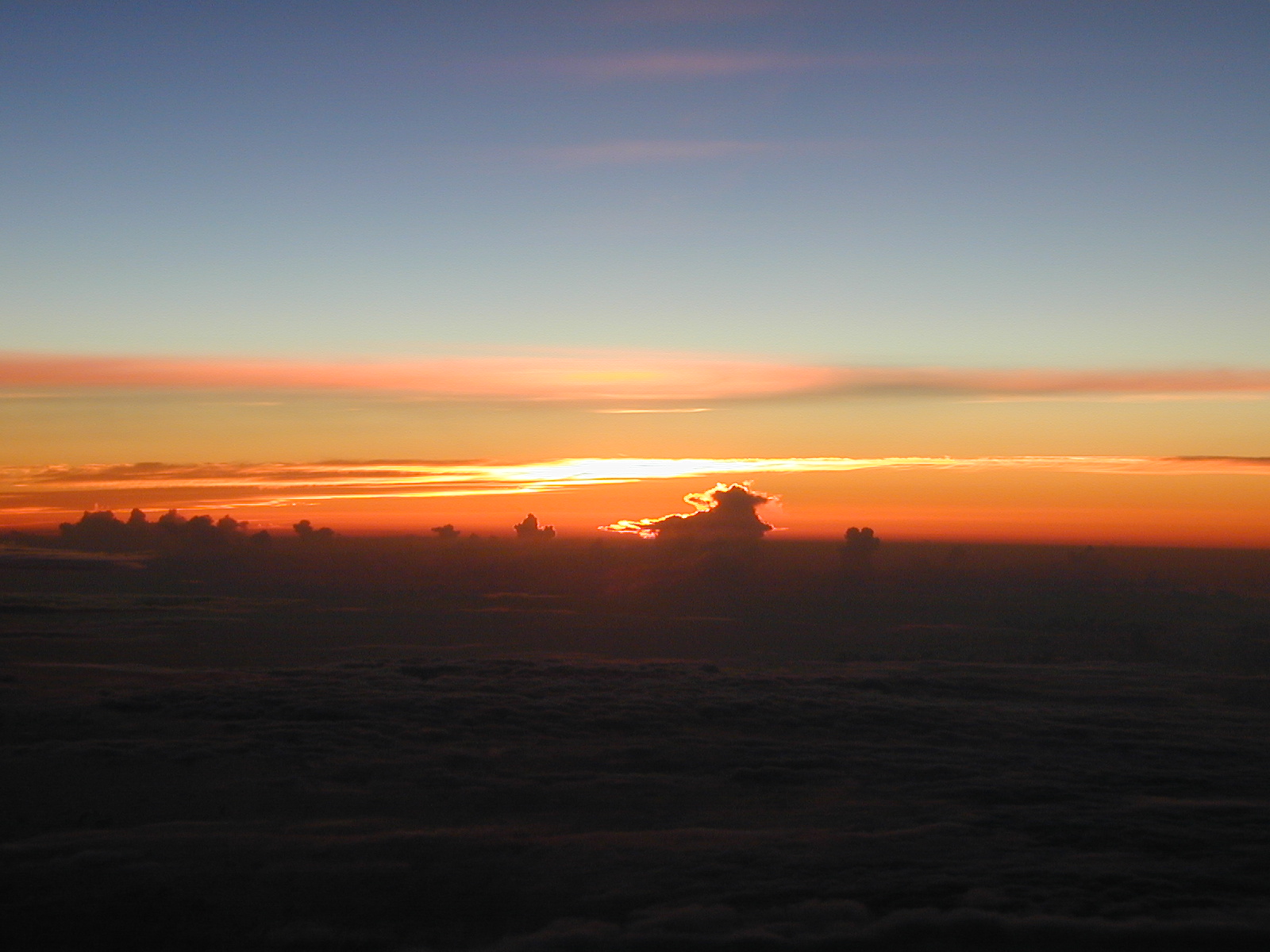
- A beautiful sunset was seen. See
sunset 2,
sunset 3, or
sunset 4.
Evaluation :
- Paul Reasor was trained to run HAPS and process dropwindsondes.
- The dropwindsonde data had a big
impact on the numerical guidance, pushing the storm further
to the east away from the coast in the models. The data were
mentioned in the 5am Humberto discussion.
- Click to see the
Impact of data on the forecasts.
Problems :
- Engine trouble.
- There was some SATCOM difficulty, especially around sunset.
There were 12 failures in a row delaying the data leaving the
plane.
- The first three sondes were transmitted with a blank line
after the UZNT13 line. These were retransmitted at the
direction of Warren Van Werne at CARCAH.
- Dropwindsonde 22 stopped transmitting near 850 hPa. The
AVAPS operator quickly ended the sonde, even though the sonde was
still in the air. It may have started transmitting again before
splash.
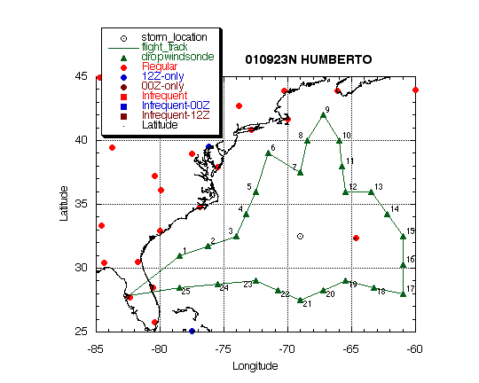
DROP LOCATIONS
Aircraft: N49RF
Takeoff: Sept. 23 at 17:30Z
| #
| LAT
(° m)
| LON
(° m)
| ELAPSED
TIME
(h:mm)
|
| 1 | 31 | 00 | 78 | 30 | 0:40
|
| 2 | 31 | 45 | 76 | 15 | 0:58
|
| 3 | 32 | 30 | 74 | 00 | 1:16
|
| 4 | 34 | 15 | 73 | 15 | 1:31
|
| 5 | 36 | 00 | 72 | 30 | 1:46
|
| 6 | 39 | 00 | 71 | 30 | 2:12
|
| 7 | 37 | 30 | 69 | 00 | 2:34
|
| 8 | 40 | 00 | 68 | 30 | 2:55
|
| 9 | 42 | 00 | 67 | 15 | 3:13
|
| 10 | 40 | 00 | 66 | 00 | 3:32
|
| 11 | 38 | 00 | 65 | 45 | 3:48
|
| 12 | 36 | 00 | 65 | 30 | 4:05
|
| 13 | 36 | 00 | 63 | 30 | 4:20
|
| 14 | 34 | 15 | 62 | 15 | 4:37
|
| 15 | 32 | 30 | 61 | 00 | 4:54
|
| 16 | 30 | 15 | 61 | 00 | 5:12
|
| 17 | 28 | 00 | 61 | 00 | 5:31
|
| 18 | 28 | 30 | 63 | 15 | 5:48
|
| 19 | 29 | 00 | 65 | 30 | 6:06
|
| 20 | 28 | 15 | 67 | 15 | 6:21
|
| 21 | 27 | 30 | 69 | 00 | 6:36
|
| 22 | 28 | 15 | 70 | 45 | 6:50
|
| 23 | 29 | 00 | 72 | 30 | 7:05
|
| 24 | 28 | 45 | 75 | 30 | 7:28
|
| 25 | 28 | 30 | 78 | 30 | 7:51
|
Return to Gabrielle mission page.
Return to Gabrielle page.