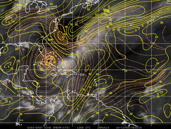
 Figure 1: Environmental shear analysis at 1200 UTC on August 25, 2014 from the Cooperative Institute for Meteorological Satellite Studies (CIMSS) product. The blue circle indicates the storm location. |
The goal of this mission is to conduct an EMC-tasked TDR pattern in Tropical Storm Cristobal. The system was declared a tropical storm 1 day earlier, and it still has a diffuse circulation based on previous reconnaissance reports. Before taking off, Cristobal is a sheared storm with all of the associated convection located over the southeastern portion of the circulation. Deep convection has formed a little closer to the center. The Air Force Reserve aircraft before our mission measured 850 mb flight-level winds of 55kt and SFMR winds of ~ 45 kt. The environment was not favorable for development before the flight with ~20 kt north to northwesterly vertical wind shear (Fig. 1). The north to northwesterly vertical wind shear is forecast to decrease during our flight, which allows a more favorable environment for strengthening of Cristobal. The storm has a slow northward motion of ~3 kt and is expected to move north-northeastward. From the IR satellite image it appears that the storm is connected with a frontal zone north and northeast of the storm (Fig. 2). The intensity forecast guidance suggests slowly and steadily intensify, reaching hurricane strength within 60-72 h.
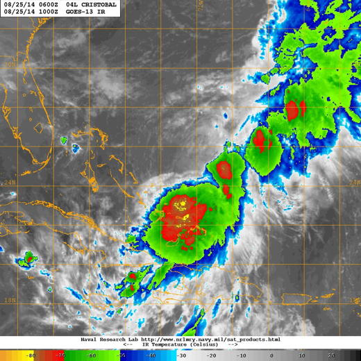 Figure 2: Infrared satellite image from GOES-13 taken between 6-12 Z on August 25, 2014. |
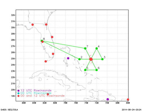
The plan calls for a butterfly TDR pattern, with an initial point on the west side (Fig. 3a). The legs will be 120 nm in length. Dropsondes at the turn, mid, and center points. No AXBT's will be deployed. The pattern will be flown at 10,000 ft.
Mission Summary :
| Take off | Landing
| MacDill AFB, FL
| 05:56 UTC
| MacDill AFB, FL
| 13:35 UTC
| | ||
|
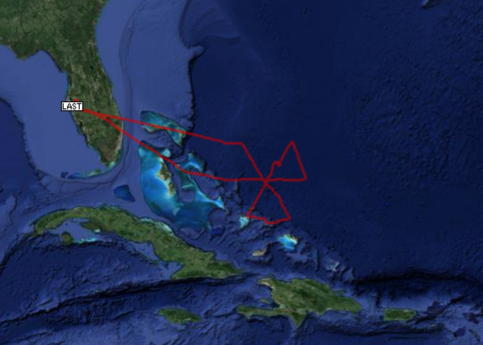
Figure 3: (left) Planned flight track.
|
(right) actual flight track.
| |
Mission Evaluation :
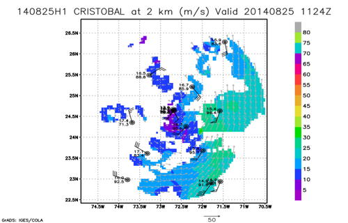
A total of three radar analyses were created and transmitted in real time, as well as 17 dropsondes. There were problems with TDR recording and the AOC ground server at the beginning about the flight. The problems were fixed during the flight so that transmissions of radar analyses and dropsondes in real-time were successful.
|
|
Figure 4: Real-time Doppler radar analysis of the wind speed at | 2, 5, and 8 km. Dropsonde measured wind speed and direction are also shown. |
Problems :
The primary problem with this flight was the failure of the TDR data recording and the primary ground server at AOC. However, these problems were fixed during the flight.
Jun Zhang
Nov. 6, 2014
Mission Data :
serial data |
Flight Director's manifest |
Flight Director's log
Return to Mission page.